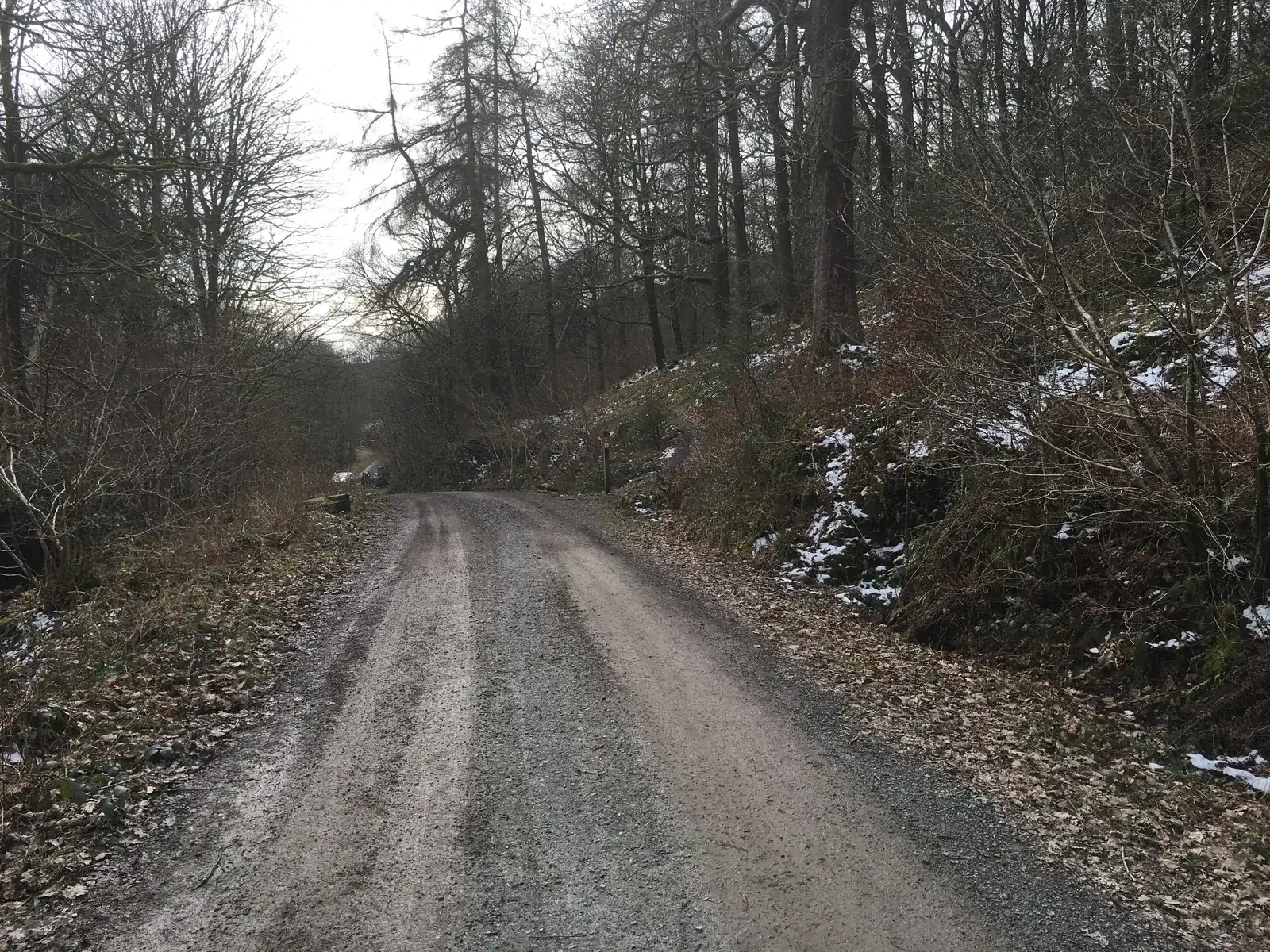
Grizedale combines technical woodland riding with a Lake District landscape that deserves more than a hurried lap. The forest lies south of Hawkshead, between the surrounding lakes and fells, and its riding offer divides into red and black singletrack plus longer forest-road adventures. Choose it for a day of climbing, changing views and natural-feeling terrain. It is also a forest for sculpture, so companions who prefer walking have a reason to come along.
The current cycling network uses the names Antler, Razorback, Hoglet Loop and Silurian Gravel Trail. Plan with the current map rather than an older North Face route description. Gravel waymarker colours identify routes here; they do not turn a hilly forest-road circuit into a green or blue technical grade. The distinction matters for family trips: a less technical surface can still demand substantial effort and confident descending on loose ground.
Grizedale Forest mountain bike trails and grades
Antler Trail
Red: Difficult · 17.5 km (March 2026 map)
A technical opening climb through oak woodland leads to boardwalks, views and flowing descents. The current map gives 17.5 km, while the individual web page still lists 16 km; use the current trailhead information to plan your ride. This is a mountain-bike route for riders with established skills and fitness.
A short but demanding descent with jumps, berms and steep ground, accessed after Antler’s first climb or from the nearby bridleway. Its compact length does not soften its expert grade.
The shorter signed gravel option explores the western forest, with views towards Coniston Old Man and the Langdale Fells. It starts at the visitor centre and follows orange cycling markers; those markers indicate the route, rather than an orange bike-park grade.
The larger gravel circuit crosses both sides of the valley, passing sculpture locations and viewpoints. The official map flags short on-road sections. Treat it as a substantial hill day, rather than a gentle alternative to the singletrack.
Use Antler Trail, Razorback, Hoglet Loop as distinct route choices, matching each grade and climbing commitment to the group. Follow current signs and closures, even where an older map shows a continuous connection.
For a new visitor who wants scenery without red singletrack, Hoglet is the clearest shorter gravel choice. Be honest about the group’s appetite for hills and loose descents before committing to the whole loop. Start at the visitor centre, where you can confirm the map and arrange a meeting point with walkers. Riders looking for a genuinely short beginner outing should discuss a suitable route with the local hire team rather than assuming the complete Hoglet circuit is a small children’s loop.
Experienced mountain bikers can make Antler the main ride, adding Razorback only when its severe features suit their skills and bike. Keep time for the technical climb and pauses at boardwalks rather than judging the day solely by kilometres. If you prefer covering ground on a gravel bike, Silurian offers the bigger journey with a published climbing figure. Combining it with a full red ride would make a much longer day than either route’s headline distance suggests.
LA22 0QJ is the forest postcode. The visitor-centre car park is the straightforward starting point for the signed main routes; several other forest car parks serve different approaches. From Hawkshead, follow the Grizedale signs south, or approach from the A590 via Haverthwaite and Satterthwaite. The roads are not all suitable for coaches, so larger groups need the land manager’s specific approach guidance.
Forestry England states that Grizedale is not served by public transport. Arrange the final connection before travelling into the Lakes, rather than assuming a bus serving Hawkshead reaches the trailhead. Main parking uses an ANPR pay-on-exit system, with card payments and an online payment option. Parking charges also apply to Blue Badge holders. The hire centre has no separate customer parking, so allow time to walk from a Forestry England car park to collect your bike.
The visitor area has toilets, accessible toilets, a shop and information point, picnic space and Café Ambio. This makes it a practical place to regroup after riders choose different routes. Accessibility information describes the approach from the main car park, including a road crossing, so consult it if somebody in your party needs a step-free or mobility-scooter plan.
Biketreks Grizedale hires hardtails, full-suspension mountain bikes, electric bikes and children’s equipment. Book the right frame size in advance and note its seasonal collection and return windows; an afternoon arrival may leave too little riding time. Discuss trailers and children’s bikes against the actual route, rather than treating a hire option as proof that every trail is suitable. A workshop service is also advertised, but arrange repairs directly instead of assuming immediate availability.
Bike hire at Grizedale Forest
Biketreks Grizedale rents hardtail, full-suspension and electric mountain bikes plus children’s equipment. Reserve the bike size and collection slot; hire returns change seasonally.
Use the visitor-centre car park for the main signed rides. ANPR parking is paid on exit; visitor facilities and bike-hire returns have separate schedules, and overnight parking is prohibited.
Boardwalks and technical forest ground call for a slower assessment in wet or frosty conditions. Let the first climb and opening features inform whether the red route is the right choice that day. In winter, hire returns are earlier, while a long gravel circuit still asks for climbing and enough daylight to get back comfortably. Severe weather can close forest facilities and trails; make a shorter route or a walking visit your flexible alternative rather than forcing the longest circuit.
Hawkshead is a practical village base for the northern approach to Grizedale. The Queens Head on Main Street serves pub meals, with resident breakfasts and vegetarian and vegan options on its Sunday menu. It gives a group somewhere to meet after riding without remaining at the forest café until closing. Reserve food separately from accommodation and ask your host about secure bike storage. Do not rely on staying overnight in a forest car park: Forestry England prohibits overnight stays there.
For a non-riding afternoon, explore the forest sculptures on foot. The official walking map helps you select a suitable loop, rather than trying to squeeze artwork stops into a technical descent. Grizedale’s sculpture programme began in 1977, and pieces remain distributed through the woodland. Take the time to look beyond the next trail junction: walking makes a better setting for lingering at the artworks, and gives non-riders a shared part of the weekend.
Some links are affiliate links — if you book, we may earn a small commission at no extra cost to you.
Displayed distances are straight-line estimates using OpenStreetMap contributors (ODbL), not road journeys. Ask the property about secure bike storage and wet-kit arrangements before booking.
RIDE PREPARATION
Kit for this ride
Consider what suits the route, forecast and your own experience.
Is Grizedale’s orange-marked Hoglet Loop a bike-park trail?
No. Hoglet is graded forest road. Its orange markers distinguish the route, rather than assigning an orange technical grade.
How long is Antler?
The March 2026 official map gives 17.5 km; the individual trail webpage still gives 16 km. Plan with the current map and trailhead information.
Is there a demanding gravel route?
Yes. Silurian is 30 km with over 700 m of climbing on the current map, including some short road sections.
Can I hire an electric mountain bike?
Biketreks Grizedale offers electric hardtails and full-suspension bikes. Reserve the required size and confirm collection, return and route arrangements.
Does a bus go to Grizedale’s visitor centre?
The land manager states that the forest is not served by public transport. Arrange the final transfer before your trip.