
Clayton Vale Easy Rider
Pale blue / Easy
The riverside section begins wide and flat before a narrower climb with gentle rollable features. It is designed for families, beginners and some accessible cycles.
Official route information →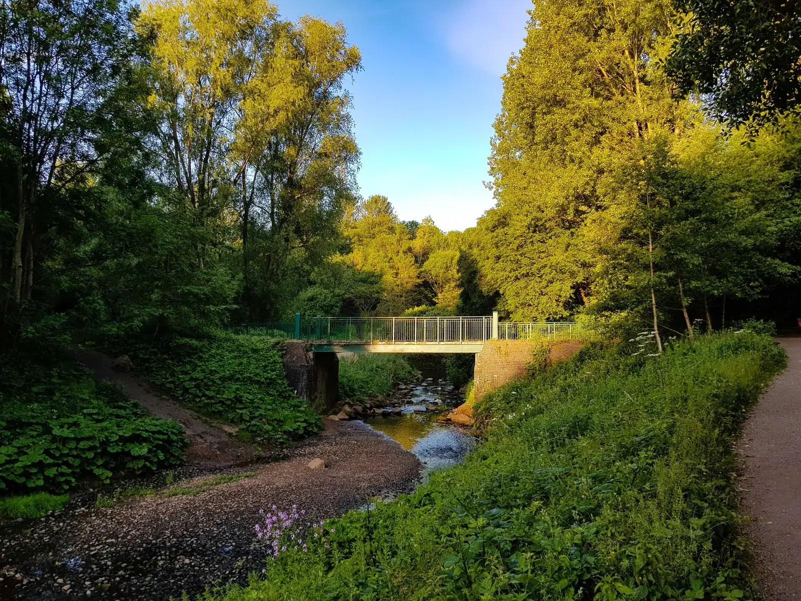
East Manchester
Clayton Vale brings mountain-bike progression into East Manchester rather than requiring a journey to a remote forest. The River Medlock runs through a local nature reserve that was reclaimed from an industrial landscape, with purpose-built riding linked to the National Cycling Centre. It suits a focused practice session or a family outing within a broader city visit, with route choices that let people build confidence at different speeds.
The cycling centre describes a twelve-kilometre network, rather than a single twelve-kilometre loop everyone must complete. Its local colour scheme needs attention: pale blue is easy, dark blue is moderate, then red and black increase the challenge. Decide what you want from the session before following a harder connection. Being close to city streets does not make the rocky technical sections less demanding.
Pale blue / Easy
The riverside section begins wide and flat before a narrower climb with gentle rollable features. It is designed for families, beginners and some accessible cycles.
Official route information →Dark blue / Moderate
Rollable features, berms and adverse cambers combine with short climbs and descents. Ride the first pass steadily before adding speed through familiar corners.
Official route information →Red / Difficult
Rock slabs, gardens, drop-offs and steeper climbing require established handling skills. Choose this for technical practice when the easier network already feels controlled.
Official route information →Black / Extreme / Expert
Steps lead into rocky riding and tight turns towards berms. This short expert section is a deliberate step up, rather than a necessary part of every outing.
Official route information →The cycling centre names Easy Rider, Sidewinder and harder red/black options alongside the Skillszone. Its local pale-blue and dark-blue labels distinguish easier from moderate riding.
Begin with the Skillszone to assess how comfortably you can roll features and control speed, then choose Easy Rider if anyone is new to purpose-built trails. Keep the initial session short enough to finish with enthusiasm rather than exhaustion. For an adaptive-bike visit, discuss the actual cycle and current access with the centre; a trail designed for some accessible bikes should not be treated as a blanket guarantee for every configuration.
Experienced visitors can use repeated moderate or difficult sections to work on a particular skill instead of rushing through the entire network. Decide whether the session is about cornering, climbing or technical features, and leave harder riding until you have assessed the surface. In a mixed group, agree a meeting point before splitting across grades rather than letting the least confident person chase someone into an unfamiliar line.
Clayton Vale is reached from Manchester. Use M40 1GR alongside the official entrance directions. Official directions →
The council lists Clayton Vale at Edge Lane, M40 1GR; the National Cycling Centre is on Stuart Street, M11 4DQ. Choose the actual park entrance or cycling-centre destination that suits your visit rather than treating those addresses as interchangeable. The centre warns that major events around the Etihad Campus and Co-op Live can severely limit parking. Allow extra time or arrive another way when a match, concert or cycling event overlaps your session.
The centre identifies the Ashton Canal as a traffic-free cycling approach from Manchester city centre and Ashton to the Velopark. Plan the onward connection into the Vale as part of that route. Velopark and Etihad Campus are nearby tram stops, but check TfGM’s current conditions before travelling with your own bicycle. A tram stop is useful for companions without establishing that a particular cycle can be taken aboard.
Find the planning area on a map →The Skillszone includes a pump track and technical features spanning easier to harder riding. Use it as part of the session, not simply as somewhere to wait while stronger riders disappear into the trails. The council lists toilets at the Vale visitor centre, specifically noting that they are unavailable when that building is closed. Carry water and plan around the facilities you can actually access on your chosen day.
The National Cycling Centre provides a staffed contact point for its wider cycling programme and publishes separate building hours and session timetables. A centre visit, an indoor cycling booking and an outdoor trail session are different arrangements. Ask directly about instruction or any equipment service you need, rather than assuming indoor track-bike rental automatically includes a mountain bike suitable for the Vale.
Plan this ride with your own mountain bike. The official visitor information describes rider facilities and access.
Clayton Vale access is dawn to dusk. Toilets at the visitor centre are unavailable while the building is closed; indoor cycling-centre hours do not extend outdoor park access.
Clayton Vale’s published park access is dawn to dusk. That makes daylight the practical limit for an after-work winter session, even when the cycling-centre building remains open later. Wet rock features and cambers deserve a fresh assessment on each visit. Prefer a shorter easier session when visibility or grip reduces, and reserve enough time to return to the entrance you used rather than relying on lights to extend park access.
Manchester is the natural base for this city riding day. For a pub meal afterward, The Marble Arch on Rochdale Road publishes a menu with pies, burgers, fish and chips and vegetarian or vegan choices. It is in Angel Meadow near the Northern Quarter, rather than beside the trails. Booking is advised, so choose a confirmed meal time and allow for the journey back from East Manchester.
For non-riders, Clayton Hall Living History Museum is a distinct nearby attraction in Clayton Park on Ashton New Road. Its moated setting and historic rooms give a visit a different focus from the bike session. The museum offers free open days; use its current opening programme when choosing your riding date. It is not continuously available simply because the surrounding park is open, so agree meeting times and transport separately.
Some links are affiliate links — if you book, we may earn a small commission at no extra cost to you.
Displayed distances are straight-line estimates using OpenStreetMap contributors (ODbL), not road journeys. Ask the property about secure bike storage and wet-kit arrangements before booking.
RIDE PREPARATION
Consider what suits the route, forecast and your own experience.
The operator labels it pale blue and easy. Sidewinder is dark blue and moderate. Read those local labels instead of assuming every blue sign represents the same difficulty.
That figure describes the network. Choose sections around your ability and available time; repeated practice on an appropriate route can be more useful than trying to cover every grade.
The council says the toilets are unavailable when the visitor centre is closed. Plan the visit around confirmed access rather than treating the park’s dawn-to-dusk hours as toilet opening hours.
The Vale has its own dawn-to-dusk access pattern. Indoor building hours do not define outdoor access, and a late centre opening does not extend the permitted trail session after dark.
Clayton Hall’s free open days offer a non-riding activity in a separate park. Check the museum calendar before promising a visit, and arrange how the party will reunite afterward.
Forest of Bowland, Lancashire
Cheshire
Bacup and Todmorden
Choose manageable family trails, fit children’s bikes, pace the day, assess clubs and coaches, and make a separate safe plan for dogs.
Develop braking, cornering, climbing and technical riding through deliberate practice, with sensible progression for roots, rocks, steeps, wheel lifts and jumps.
Plan adaptive equipment, useful access checks, communication and supportive women’s rides around the individual rider and the complete trail visit.
Trail conditions change — check the official page before you travel.
Open official site →