
Doolittle Trail
Forest road · 3.4 km
A shared forest-road ride passing mature trees and Doolittle Moss. Choose it for a shorter outing, allowing for walkers and a pace that suits the least experienced cyclist.
Official route information →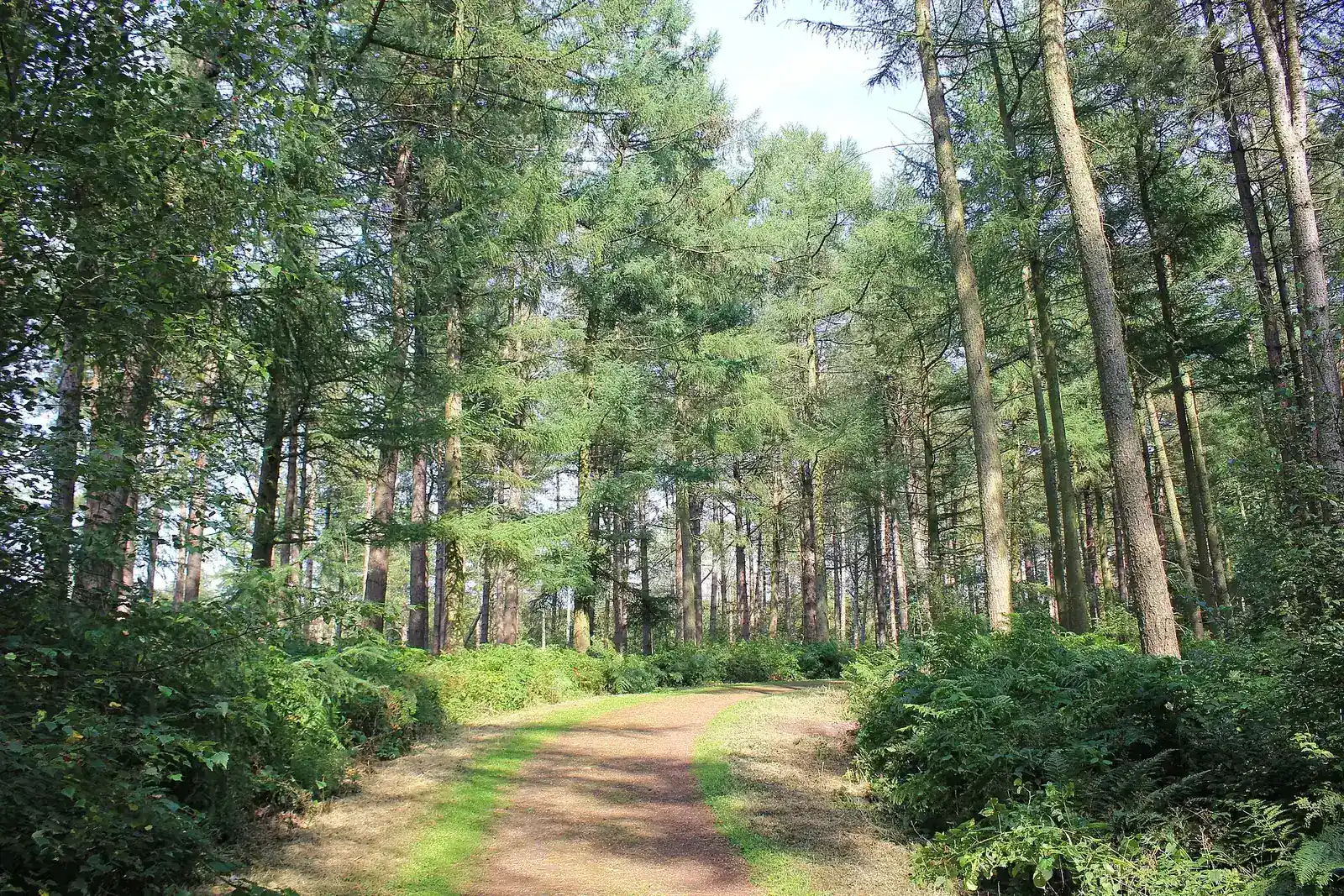
Cheshire
Access note: Abbey Lane is closed at its A556 junction during works scheduled August 2026–March 2027. Forestry England says the forest remains open; check the current roadwork diversions for your approach.
Delamere Forest gives a mixed group several ways to build a cycling day in Cheshire. Short shared forest-road loops suit an unhurried outing, while a longer signed route allows riders with more experience to choose blue singletrack sections. The useful decision is how much technical riding each person wants, rather than whether everyone owns a mountain bike. Start with the available signed choices and leave time for a café break or another forest activity.
The current cycling map names Doolittle, Blakemere and Mara & Mondrem. The longer route combines forest-road riding with optional blue sections, so a family can choose an easier approach without treating every feature as compulsory. Stay with authorised signed options and the route directions: a visible line through the trees is not automatically part of the official network. The skills loop provides a practical starting point for deciding whether a technical option is appropriate today.
Forest road · 3.4 km
A shared forest-road ride passing mature trees and Doolittle Moss. Choose it for a shorter outing, allowing for walkers and a pace that suits the least experienced cyclist.
Official route information →Forest road · 5 km
The shared route passes Blakemere Moss and is also used for the weekly parkrun. Enjoy the forest setting while leaving space for people enjoying it on foot.
Official route information →Forest road · 10 km; 7 km with shortcut
The signed forest-road route links the optional technical sections. Surfaces and gradients vary; use the shorter choice if that makes the return more comfortable for the group.
Official route information →Blue · 7 km or 10 km options, including 4 km singletrack
Optional moderate singletrack includes climbs, descents and technical features. Enter only in the signed direction and look for other visitors when rejoining the shared Grey route.
Official route information →A traffic-free practice area with varied features for learning or returning to cycling. Try suitable examples before deciding whether to include the blue sections on the longer ride.
Official route information →The cycling map separates shared forest-road circuits from optional one-way blue singletrack. Read the joining and rejoining arrows before choosing the Mara & Mondrem options.
For a first family visit, separate the distance decision from the technical decision. A short forest-road outing can be a satisfying ride without adding singletrack. Pick a route the youngest or least confident rider can finish with energy remaining, and agree where the group will pause. Shared-use cycling needs patience at busy points: waiting briefly for walkers is part of the outing, not a reason to hurry a child along an unfamiliar surface.
More experienced visitors can start at the skills loop and choose the signed blue alternatives on Mara & Mondrem. Check the entry directions before committing; these singletrack sections are one-way. Treat the rejoin with the forest-road route as a fresh observation point, especially when riding at a different speed from companions. Use the optional sections to build a coherent lap rather than searching for unofficial lines that are not shown as approved riding on the operator’s map.
The forest is reached from the A556 via the B5152, using CW8 2HZ for Linmere. Choose an official car park. Official directions →
The forest is reached from the A556 via the B5152, using CW8 2HZ for Linmere. Choose an official car park. The main Visitor Centre car park is close to facilities and uses pay-on-exit ANPR, while Whitefield requires payment at the start of the visit. Payments are cashless. For a longer car visit, the published over-three-hour charge is £12.50 at Visitor Centre or Treetops and £9.50 at Whitefield; select the location that fits your plans.
Delamere station offers a practical alternative to driving, with the forest’s access information placing it beside Treetops car park. National Rail identifies Northern as the station manager. Check train times and the operating company’s cycle policy before taking a bike; station access is separate from permission to carry cycles on a particular service. The forest also identifies iTravel on-demand bus coverage. Allow enough time to reach your chosen riding start and avoid planning the return train around an optimistic final lap.
Find the planning area on a map →The visitor facilities include a café, toilets, accessible provision and picnic areas. The access page identifies a Changing Places facility at the welcome centre, plus bookable all-terrain mobility scooters through Outdoor Mobility. Those scooters are a separate mobility service, with booking terms, not conventional mountain-bike hire. A mixed group should choose its meeting place and activity in advance rather than assume everyone will join the same cycling route.
Forestry England’s current visitor page lists cycle hire, but availability, bike sizes and collection arrangements should be checked directly before travel. If bringing your own bike, pack tools and a compatible spare tube, and make arrangements for transporting it home. Check any wash facilities separately rather than making the return plan depend on them. Keep provisions and belongings organised around your car or station plan, with time for equipment collection before the ride.
Forestry England’s current visitor information lists cycle hire. Confirm current availability and booking arrangements before travel; check bike-wash provision separately.
Parking is cashless. The Visitor Centre car park uses ANPR payment on exit, while Whitefield requires payment at the start of your visit. Read seasonal gate hours and current road-diversion instructions before setting out.
Forest-road surfaces can be loose, uneven or potholed, and the blue choices introduce additional technical demands. Reduce the route if wet conditions make the group less comfortable. Seasonal car-park hours differ, so leave time for packing up as well as riding. Use the signed network and keep the group together at route choices; a short forest loop is more enjoyable when nobody is left trying to work out which optional section the others took.
The Fishpool Inn on Fishpool Road is a specific nearby food choice, with table booking and daily food service. The venue describes itself as family and dog friendly. Check the menu and reserve around a comfortable finishing time rather than cutting a ride short to reach a tight booking. A meal outside the forest provides a clear reunion point for companions, but factor the road approach into the plan when local diversion signs affect the journey.
For a non-riding activity within the forest, the nine-hole disc-golf course offers a different shared outing among the trees. The operator says no booking is needed and play is free with your own discs; disc hire is available from the visitor centre during its opening hours. Allow time for learning the throws and playing together rather than treating it as a rapid extra lap. It works as a separate focus for companions who want an outdoor day without cycling.
Some links are affiliate links — if you book, we may earn a small commission at no extra cost to you.
Displayed distances are straight-line estimates using OpenStreetMap contributors (ODbL), not road journeys. Ask the property about secure bike storage and wet-kit arrangements before booking.
RIDE PREPARATION
Consider what suits the route, forecast and your own experience.
Forestry England’s current visitor information lists cycle hire. Confirm availability, sizes and booking arrangements before travelling, and check bike-wash provision separately. Bring the tools and transport arrangements needed for your chosen outing.
The current dedicated cycling and skills-loop pages say cycle hire and bike-wash facilities are closed. Bring your own bike and plan its journey home.
No. Forestry England explicitly identifies them as one-way singletrack. Follow the signed entries and watch for other users when returning to the shared route.
Yes. Delamere station serves the forest beside Treetops car park. Check your train operator’s cycle policy separately before bringing a bike.
Forestry England says the forest remains open. Abbey Lane has a published closure at its A556 junction from August 2026 to March 2027, so allow for diversions.
Forest of Bowland, Lancashire
East Manchester
Bacup and Todmorden
Choose manageable family trails, fit children’s bikes, pace the day, assess clubs and coaches, and make a separate safe plan for dogs.
Develop braking, cornering, climbing and technical riding through deliberate practice, with sensible progression for roots, rocks, steeps, wheel lifts and jumps.
Share mountain-bike trails safely, protect wildlife and soil, report hazards clearly, volunteer with permission and photograph riding considerately.
Trail conditions change — check the official page before you travel.
Open official site →