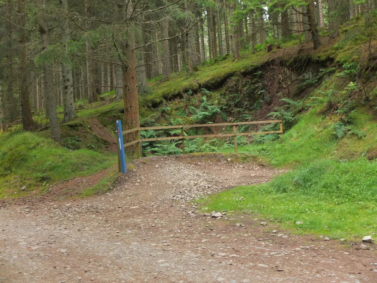
Access note: The blue and red routes have diversions, and the black route is partially open with storm-damage closures. Follow the current signs and marked alternatives.
Glentress gives you a wide choice of mountain-bike days from one Tweed Valley starting point. A short green woodland loop, a blue route with options to shorten it, and longer red and black circuits let you build a visit around your skills and climbing appetite. The newer flow descents add another decision: whether you want a more natural-feeling return through the forest or a finish built around sweeping turns and features.
The Gateway and shared Multi-user Trail organise the start of the network, connecting riders to the skills area, taster trails and longer loops. This makes Glentress particularly useful for groups with different abilities, provided everyone chooses their own grade. It is still a forest with sustained climbing, shared connections and active trail repairs. Follow the signed diversions and choose the main loop before you start, rather than assuming every familiar named section is available.
Glentress mountain bike trails and grades
Lower Green Route
Green · 3.5 km
A short introduction that heads into the trees from the shared Multi-user Trail, takes in The Admiral and returns towards the Gateway with Apple Peel to finish. It is the sensible first full route for newcomers who want a woodland mountain-bike outing without committing to the longer hill. Keep your pace considerate on the shared approach.
The full route climbs towards Buzzard’s Nest and can be split into lower and upper loops. Berm Baby Berm, Blue Velvet and Good Game give it familiar flowing sections, while Harry’s Blue and Turn and Burn provide newer descending choices. Choose the lower loop if you want a smaller commitment. The published full-route distance should not be read as the length of every available variation.
A more demanding cross-country circuit with substantial climbing and alternative finishes. The classic return uses Matrix and Lombard Street towards Magic Mushroom and Falla Brae; Twitcher and Smells Like Tweed Spirit offer a flow-trail finish. Those options make this a route worth studying before you ride, particularly when diversions change the connections.
A longer expert-level outing combining technical descending with a serious climbing commitment. The route is partially open with diversions, including a storm-damage diversion around Boundary Trail, Deliverance, Mild Peril and Redemption Climb. Use the current marked route, and leave ample energy for descending after the uphill work. The full published distance describes the established circuit.
The route card shows the green, blue, red and black networks plus named connections. Read current diversions alongside it and choose the classic or flow finish deliberately.
Use the skills area and taster trails to settle in before selecting a network loop. The skills area includes green, blue and red practice zones, plus a mini mountain-bike zone for very young riders. For a first visit, completing the Lower Green comfortably is a better starting point than heading uphill solely because everyone else is riding blue.
Riders already comfortable on blue can choose the lower or full blue circuit according to fitness. Experienced cross-country riders can make red the main day, deciding between the classic and flow finishes from the map. Black needs both expert handling and the stamina for a longer outing; it is a separate decision from enjoying a red descent. Castle Black’s large jumps demand their own judgement even within a wider black-route plan.
Where is Glentress?
The signed turn-off is on the north side of the A72 between Peebles and Innerleithen; EH45 8NB is the nearest postcode. Start by locating the Gateway and the Multi-user Trail connections rather than assuming a remembered car park is still the only entry point. Official directions →
The signed turn-off is on the north side of the A72 between Peebles and Innerleithen; EH45 8NB is the nearest postcode. Start by locating the Gateway and the Multi-user Trail connections rather than assuming a remembered car park is still the only entry point. Allow time to check the map and prepare before the first climbing section.
Parking uses number-plate recognition and barriers. Pay by card at a machine before leaving if you stay beyond the free short period and do not hold a registered pass. For a car-free trip, Borders Buses runs bike-friendly vehicles on the X62 corridor through Peebles and Innerleithen. Spaces are limited and disabled access takes priority, so confirm the particular journey and onward connection before relying on bike carriage.
The visitor hub has toilets, including accessible facilities, showers, picnic space and a café. The café’s kitchen closes before the café itself, so factor food service into your riding schedule. A group meeting for lunch should agree a return point before taking different loop options; a full black circuit is a different commitment from a green lap.
Alpine Bikes provides the on-site shop, servicing and online hire booking, with a range including hardtails, full-suspension bikes and e-bikes. Reserve the right size and equipment for your intended route. Hire makes a travelling visit easier, but a bike’s suspension or assistance does not change the skill required by the graded trail.
Bike hire at Glentress
Alpine Bikes provides on-site hire at Glentress, including hardtails, full-suspension bikes and e-bikes. Reserve a suitable size and select a route within your current riding skills.
Glentress parking uses ANPR and barriers, with card payment before departure where required. Café and kitchen hours differ; organise hire collection and return separately from your riding plan.
Glentress mixes forest riding with longer climbs, so damp ground and a cold descent after uphill effort can change the feel of a day. Keep a shorter blue option in mind when weather or energy makes the upper loop less appealing. On red and black, preserve enough concentration for the chosen return rather than treating the summit as the end of the work.
Signed repair diversions apply throughout the week. Do not assume a section is usable because work has stopped for the afternoon. In shorter daylight, include the climb, descent and packing-up time in the plan, and keep café and hire return times separate from the distance printed beside the loop.
Peebles works well as a town base for a Glentress break. The Tontine on the High Street has a restaurant, bistro and bar for food after riding; the Bridge Inn offers a riverside pub option near the end of the High Street. Choose accommodation with confirmed bike storage and plan your dinner around the return journey, rather than assuming the trailhead café will serve an evening meal.
For time off the bike, walk the 2.6 km Ponds Trail through woodland around the sheltered ponds. It has firm gravel paths, seats and short ramps, offering a different pace from the riding loops. The Multi-user Trail also provides an accessible connection around the Gateway facilities, but keep alert to cyclists and other visitors on that shared route.
Some links are affiliate links — if you book, we may earn a small commission at no extra cost to you.
Displayed distances are straight-line estimates using OpenStreetMap contributors (ODbL), not road journeys. Ask the property about secure bike storage and wet-kit arrangements before booking.
RIDE PREPARATION
Kit for this ride
Consider what suits the route, forecast and your own experience.
Follow the shared Multi-user Trail from the Gateway to access the mountain-bike network. It also connects the skills area, taster trails and main visitor facilities.
Do I have to ride all 16 km of the blue route?
No. The route can be divided into lower and upper loops, with a choice at Buzzard’s Nest. Use the map and current signs to select the shorter option.
Are the red and black routes fully open?
They have closures and diversions. The black route is partially open, with several storm-damaged sections closed; follow the marked alternative rather than an older downloaded track.
Can I try features before choosing a full loop?
Yes. The graded skills area and blue, red and black taster trails let you practise without committing to a longer network circuit.
Can I hire an e-bike at Glentress?
Alpine Bikes lists e-bikes alongside hardtail and full-suspension options. Book a suitable size and confirm the hire arrangement before travelling.
Build mountain-bike endurance, strength and confidence with practical food, hydration and recovery planning, including an individual return after injury.
Official links
Trail conditions change — check the official page before you travel.