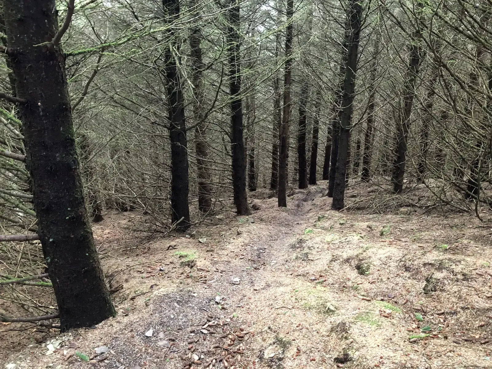
Access note: Cadon Bank is closed daily, with a weekday restriction on the forest road between posts 41 and 43. Plora Craig, Oh Deer and Razor Rock remain closed. The official route card also marks Make or Brake and Double D closed.
Innerleithen is the demanding end of a Tweed Valley mountain-bike break. In Traquair Forest, a red cross-country circuit climbs towards Minch Moor, while downhill tracks descend through the trees from Plora Rig. The appeal is sustained technical riding: steep ground, roots and rock, with a choice between earning your descent and booking an uplift. It suits riders who already know how they manage difficult trails, rather than somebody seeking a first blue loop.
Keep the named 7stanes network distinct from the much wider local riding scene when planning a visit. A familiar trail name on an app does not settle its access or present condition. Start with the official map, decide whether you want XC or repeated downhill laps, and use the town as your base. Forestry work currently changes the XC return, so a weekend here needs enough flexibility to enjoy the riding that is available.
Innerleithen 7stanes mountain bike trails and grades
Innerleithen XC
Red: Difficult · 19 km
The published circuit climbs through forest switchbacks towards Minch Moor, with optional black features on the descent. Cadon Bank is closed every day; the forest road between posts 41 and 43 is closed on weekdays. The signed diversion changes the return, and Plora Craig, Oh Deer and Razor Rock also remain closed.
A demanding downhill track with committed rock features and steep chutes. Treat it as a deliberate advanced choice, rather than automatically following whoever is ahead after leaving the uplift.
The uplift operator describes a hand-built track with tight trees, roots and off-camber sections. It rewards careful line selection; the terrain deserves respect even without a headline jump or drop.
Rooty and steep, with awkward off-camber ground and rocky sections. Expect to work through a technical descent rather than relax into an easy flow run.
The named machine-built option has jumps and berms, contrasting with the more natural tracks. The linked official route card marks Make or Brake and its optional Double D line closed: do not plan a lap without confirmation from the land manager and on-site signs.
Use Innerleithen XC, Matador, Cresta Run as distinct route choices, matching each grade and climbing commitment to the group. Follow current signs and closures, even where an older map shows a continuous connection.
For a first visit by an established red-trail rider, the XC route is the clearest pedal-powered choice, provided its current diversion fits your plans. Take the opening climb steadily and keep the optional black features out of the itinerary unless you genuinely want them. The full published loop is not an easy warm-up, and the redirected return may not deliver the descent you have seen in older videos. Read the yellow signs before committing to each affected junction.
If you are an experienced downhill rider, book uplift and make the first descent a controlled look at the available track. The current FLS website grades the downhill network extreme, even though its older linked map differentiates some black tracks from Matador’s double-black line. Follow the more demanding current classification and the trailhead signs. Full-face helmet, gloves, body armour and a downhill-specific bike are strongly recommended by the land manager. New riders wanting green or blue circuits should consider nearby Glentress instead.
Where is Innerleithen 7stanes?
From the main road through Innerleithen, follow the 7stanes Trails sign beside St James’ Church; the forest car park is half a mile along that road. Official directions →
From the main road through Innerleithen, follow the 7stanes Trails sign beside St James’ Church; the forest car park is half a mile along that road. EH44 6PW is the nearest postcode, slightly south-west of the entrance. Listed parking is £1.50 for an hour or £4 all day, payable by coin, card or RingGo. Blue Badge parking is free with the badge displayed.
The village has bus connections, with approximately half a mile between the nearest stop and the forest. Plan the complete journey through Traveline Scotland and confirm bike carriage before travelling with a bike. For an uplift day, allow time to reach the car park and check in at the Cabin rather than arriving only at the advertised first-bus time.
The trailhead has parking and picnic provision; FLS directs visitors to Innerleithen for the nearest public toilets and places to eat. Adrenalin Uplift operates minibuses with bike trailers and takes advance date-based bookings. Its website also advertises rental bikes, protection and coaching, which are worth arranging before arrival if required. Confirm collection arrangements and bike suitability with the operator; an uplift booking alone does not provide equipment.
The car park also participates in Stay the Night for self-contained campervans, with eight spaces and a listed £10 overnight charge. It is a parking scheme rather than a serviced campsite. FLS notes that the site can flood after severe rain, an important consideration when deciding whether to stay beside the trails.
Car parking is £1.50 up to an hour or £4 all day; payment accepts coins, card or RingGo. Uplift passes are booked separately, and active forestry diversions still apply.
Roots and off-camber ground make a wet Innerleithen day substantially different from a dry one. Reduce speed early and leave room to reassess on each lap instead of letting the uplift rhythm dictate your pace. The operator publishes different summer and winter service patterns, so choose a bookable date rather than assuming daily uplift. In cold or short-day conditions, a town-based stay gives you an easier place to dry kit and change the following day’s plan.
Phytophthora ramorum affects the larch trees in Traquair Forest. Arrive with clean tyres, shoes and riding kit, and clean them before moving to another forest. That is particularly relevant on a multi-centre Tweed Valley weekend, when dirt from one ride can otherwise travel straight to the next trailhead.
Camping and places to stay near Innerleithen 7stanes
Camping near Innerleithen 7stanes
FLS Stay the Night permits one night for self-contained motorhomes and campervans in the participating car park. It is a regulated vehicle stopover, not a tent campsite; consult the scheme terms and flood advisory. Official campsite information →
A base in Innerleithen
Innerleithen is a useful base because food and accommodation sit in the town rather than requiring another forest stop. The Traquair Arms Hotel has a restaurant, traditional bar and beer garden, with seasonal menus. It also advertises secure storage: ask about bike arrangements when booking. Reserve a meal separately, allowing different finishing times for XC and uplift riders.
For a break from riding, Robert Smail’s Printing Works on the High Street is a working letterpress museum run by the National Trust for Scotland. Its guided visits last around 90 minutes and need advance booking because numbers are limited. This gives a town-based alternative when you want an afternoon away from steep trails. Check the seasonal calendar before building it into a winter weekend; the published schedule closes the printworks from November through February.
Some links are affiliate links — if you book, we may earn a small commission at no extra cost to you.
Displayed distances are straight-line estimates using OpenStreetMap contributors (ODbL), not road journeys. Ask the property about secure bike storage and wet-kit arrangements before booking.
RIDE PREPARATION
Kit for this ride
Consider what suits the route, forecast and your own experience.
Its named XC circuit is red and the current FLS downhill classification is extreme. Nearby Glentress offers a more suitable starting point for green or blue riding.
Can I ride without booking uplift?
Yes, the XC circuit is a pedal-powered option. Its forestry diversions affect the return, so choose it for the available route rather than an uninterrupted original loop.
Why do the website and route card show different downhill grades?
The current FLS page describes all four tracks as extreme, while the linked older card differentiates black and double-black. Use current on-site signs and the more demanding classification.
Is Make or Brake open?
The official route card marks it and Double D closed. Do not assume that a route description or an uplift booking confirms reopening.
Are toilets at the forest car park?
FLS directs visitors to the nearest public toilets in Innerleithen. Plan a town stop rather than relying on trailhead toilets.
Develop braking, cornering, climbing and technical riding through deliberate practice, with sensible progression for roots, rocks, steeps, wheel lifts and jumps.