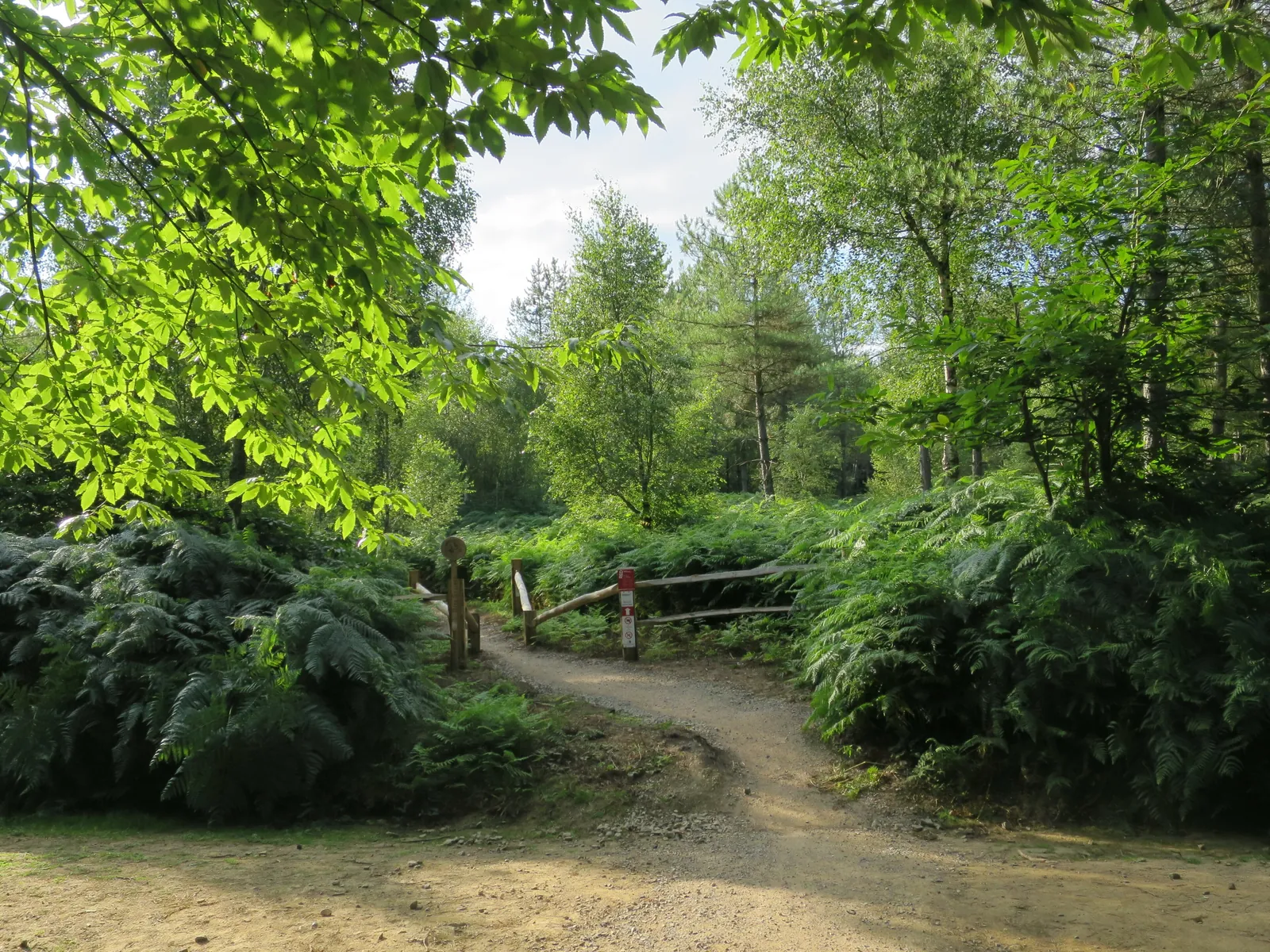
Bedgebury brings family cycling and dedicated red singletrack together in a Kent forest, with the National Pinetum adding a strong reason for non-riders to come too. The main choices are a blue family route on shared forest roads and a 13 km mountain-bike trail with harder features. A shorter family loop offers another way to keep the day manageable. Match the route to the least confident rider before leaving the visitor area.
The singletrack’s climbs, descents, berms, drop-offs and rocks make it a purposeful mountain-bike outing. The forest-road routes serve a different kind of day, with time to ride together and enjoy the woodland. This is particularly useful for a mixed household: confident riders can plan their technical lap while others choose family cycling or a walk, then meet for food. Make the meeting arrangements at the start so nobody has to hurry a route to keep up.
Bedgebury Forest mountain bike trails and grades
Family cycle trail
Blue · 9 km
The full family route uses shared forest roads and is intended for cyclists with basic off-road skills. Leave room to slow for other users and regroup before junctions. The blue grade means riders should already be comfortable controlling a bike away from smooth pavement; the family label does not remove that requirement.
This shorter forest-road option suits younger and less experienced cyclists, with some gravel and small hills where tiny riders may need help. Choose it when maintaining enthusiasm matters more than completing the full family distance. Give children space to find their balance rather than pushing them to match an adult’s pace.
Bedgebury’s dedicated singletrack includes demanding climbs and descents, berms, drop-offs and substantial rocks. It is for proficient mountain bikers. Ride the first lap to understand the features, braking points and effort involved, then decide whether a second lap would add useful practice or simply fatigue.
Blue family routes use shared forest roads; the red singletrack is a separate, more technical circuit. Use Forestry England’s Maps tab and current notices.
For a first visit with children, start by choosing between the two blue family routes. The shorter loop is a sensible opening choice when off-road endurance is uncertain. Forestry England advises that small riders can need assistance on its gravelly and hilly parts. Build in a pause before anyone becomes tired, and keep the group together on the shared roads instead of using the route as an adult fitness test.
An experienced mountain biker can make the 13 km red trail the main ride and use the forest-road cycling for a gentler addition with companions. Allow the climbs to set the pace of the first lap. The trail’s mix of rock, drops and turning features rewards looking ahead and assessing the line before accelerating. If you hire a bike, choose equipment appropriate to this technical route rather than assuming every hire option suits every trail.
Where is Bedgebury Forest?
Bedgebury Forest is reached from Goudhurst. Use TN17 2SJ alongside the official entrance directions. Official directions →
The main entrance is on Lady Oak Lane, Goudhurst, TN17 2SJ, reached from the B2079. Use the main visitor entrance for the cycling day. Forestry England charges vehicles by duration, with an all-day car tariff of £15.50 at the time of this update. Pay on exit by card; the land manager says cash is not accepted. Arriving on foot or by bicycle is free, so the parking tariff is not a separate ticket for every rider.
Forestry England identifies Etchingham as the closest railway station. Its public-transport directions also describe the 1066 bus from Tunbridge Wells towards Hawkhurst, with a Flimwell stop opposite Aspect Wood and roughly a 30-minute walk to Bedgebury. Arrange the final transfer before booking rail travel, particularly with children or your own bike. Check the bus timetable and carriage arrangements with the transport operator rather than assuming a forest shuttle service.
Bike hire has returned for 2026 and is operated through Go Ape. Book ahead, choose the bike sizes and session duration carefully, and allow the operator’s requested check-in time. Hire helmets are included. The visitor centre has a café, toilets and accessible facilities, including a Changing Places toilet requiring a Radar key, with a key available to borrow from the information point. Use the visitor area to organise food and regrouping before the riders separate.
Bike hire at Bedgebury Forest
Go Ape operates Bedgebury forest-bike hire. Book the required size and duration; hire helmets are included, and rental opening differs from the forest gates.
Bedgebury opens daily at 8am except Christmas Day, closing at 8pm through 26 October 2026 and 5pm from 27 October. Car parking is card-only, paid on exit; entry on foot or bike is free.
Bedgebury opens at 8 am daily except Christmas Day, with seasonal closing times. For 2026 the published evening closure changes from 8 pm to 5 pm on 27 October. A late-autumn ride therefore needs an earlier start, especially when returning hired bikes or fitting in a family walk. Wooded trails can make daylight feel shorter, and wet weather calls for more measured riding on the red trail’s rocks and technical features.
Goudhurst provides a village base for the forest visit. The Goudhurst Inn is a pub, restaurant and hotel listed by Visit Kent, giving a group a specific off-site meal option after riding. Book around your actual finish time and organise bike storage before settling in. The café at Bedgebury is more convenient for meeting companions during the day; a village meal works better once the bikes are packed away.
Set aside time for the National Pinetum on foot. Forestry England’s waymarked Pinetum trail explores the tree collection and is an easy-access option for wheelchairs, mobility scooters and pushchairs. It gives the day a different pace without leaving the site. Families can also look at the current Room on the Broom activity trail when planning a walking visit, keeping that outing separate from the cycling routes.
Some links are affiliate links — if you book, we may earn a small commission at no extra cost to you.
Displayed distances are straight-line estimates using OpenStreetMap contributors (ODbL), not road journeys. Ask the property about secure bike storage and wet-kit arrangements before booking.
RIDE PREPARATION
Kit for this ride
Consider what suits the route, forecast and your own experience.
No. Forestry England grades both family cycle options blue, requiring basic off-road skills. The shorter one is aimed at younger or less experienced cyclists, but its gravel and hills can still call for help.
What makes Bedgebury’s red trail technical?
The 13 km singletrack includes challenging climbing, descents, berms, drop-offs and rocks. Choose it when you already have proficient mountain-bike skills, and use the family forest-road routes for a less technical group ride.
Can I hire a bike at Bedgebury?
Yes. Hire returned in 2026 through Go Ape, with helmets included. Reserve suitable bikes for your group and check the available hire days, session duration and return time before building the rest of the outing around them.
Are e-bikes allowed on the cycling trails?
Forestry England welcomes legally compliant electrically assisted pedal cycles. Other powered machines do not qualify under that policy, so check that your bike meets the EAPC requirements before travelling.
Can non-riders enjoy the same visit?
Yes. The Pinetum walking trail, family activity trail and visitor-centre café make it possible to plan a separate outing and meet the riders afterwards. Arrange a clear meeting time and location rather than expecting walkers to follow the singletrack.