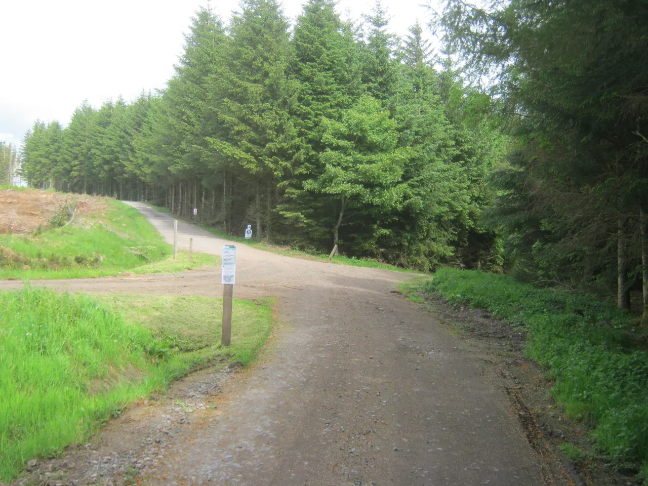
Hamsterley is a large County Durham forest with a useful spread of riding: progressive blue singletrack, a substantial red circuit, a shorter technical red and a black loop. The visitor-centre base makes it possible to start together without forcing every rider onto the same route. Its sheltered valleys and network of forest tracks also give the ride a different rhythm from an uplift day: here, the climbs and linking sections are part of the outing.
Choose the route by its character as well as its length. The Big ’Un gives a longer journey through the forest, while Transcend compresses technical riding into fewer kilometres. Squirrel Chaser creates a more approachable progression option, and the skills loop offers a concentrated place to practise. For a weekend, try an exploratory first ride before a more demanding circuit the next day.
Hamsterley Forest mountain bike trails and grades
Squirrel Chaser
Blue · 13.3 km long route or 8.4 km short route
An undulating figure-of-eight with progressive singletrack and a return choice near the beck. The long option crosses a narrow footbridge where riders must dismount and push up a step. Choose the short return if that obstacle would be unsuitable for your cycle or mobility; the short circuit remains a proper blue ride, not a failure to complete the day.
Steep climbs, water crossings and about five miles of singletrack make this the longer red adventure. The route finishes with flowing riding that is technical in places. The Hamster Wheel shortcut lets riders repeat parts of the network. Save optional repeats for when your legs and remaining daylight allow.
A shorter, less groomed outing with a demanding climb through the bike-park area and three technical singletrack sections. Its return shares sections with The Edge, including optional higher-grade challenges. Pick it for technical riding when you have the skills, rather than because the shorter distance appears easier than the Big ’Un. Keep your intended route clear at the shared junctions.
A technical climb leads into faster singletrack, then rocky and rooty sections connected by forest tracks and green lanes. The variety is the point: it is not eleven uninterrupted kilometres of descending. Choose it for an experienced group that enjoys technical climbing as well as descending.
The 14.6 km forest-road route follows undulating tracks with some short steep climbs before returning along the forest drive. It offers a gravel-style alternative to technical singletrack, but is not green-graded. Allow for other visitors, vehicles and hills on the shared sections.
Berms, drops, step-ups and balance features provide a place to assess control before setting out. Choose individual options deliberately: a progression area containing harder features is not automatically suitable for every beginner. Practise a suitable feature before a longer ride.
Use Squirrel Chaser, The Big ’Un, Transcend as distinct route choices, matching each grade and climbing commitment to the group. Follow current signs and closures, even where an older map shows a continuous connection.
For riders with basic off-road experience, start on Squirrel Chaser and decide between its short and long options before the footbridge junction. If you want a track-based outing instead of constructed singletrack, choose Ants in Yer Pants and allow for its hills. Newer riders can spend time on suitable skills-loop features before committing to a full circuit.
A confident red-grade group can use the Big ’Un for a fuller day through the forest. Pick Transcend when a shorter technical ride better matches the plan, and The Edge only when its black-grade terrain matches everyone’s experience. Separate the forest-loop plan from any paid downhill session: the presence of Descend does not make its uplift part of an ordinary waymarked-trail ride.
Where is Hamsterley Forest?
Follow the signs from the A68 north of West Auckland and use Bedburn for the main visitor-centre car park; postcode DL13 3NL covers a wider area. Official directions →
Follow the signs from the A68 north of West Auckland and use Bedburn for the main visitor-centre car park; postcode DL13 3NL covers a wider area. The forest has several parking areas, so agree the exact meeting point. Current car tariffs are £3.50 up to one hour, £6.50 up to two hours, £8 up to four hours or £9 all day. Payment uses the machines or RingGo, and overnight parking is not allowed.
Forestry England states that there are no public transport links into the forest. Arrange a realistic final transfer if arriving in the area without a car, and do not book a stay on the assumption that a bus reaches the trailhead. The forest is open dawn to dusk; Forest Drive has separate vehicle hours, so check that your intended exit still works after your ride.
The main base has a cafe, toilets, picnic space and an information point. Accessible toilets are provided in the main car park and cafe, while the detailed access guide explains doorway widths and route limitations. Use that guide before travelling with a non-standard cycle. In particular, the long Squirrel Chaser footbridge has a narrow deck and a step, so the headline blue grade does not establish that every cycle can pass it comfortably.
The cafe offers sit-in food and takeaway, making the visitor-centre area a useful regrouping point between rides. Bring your bike and spares, and arrange any required hire directly before travelling.
Forest access is dawn to dusk, with shorter separate Forest Drive hours. All-day car parking is £9, paid by card or RingGo; overnight parking is not permitted.
Hamsterley’s rooty and rocky sections reward a measured first lap in wet conditions, particularly on The Edge and Transcend. Water crossings on the Big ’Un add another reason to choose the day’s route conservatively after rain. In winter, the dawn-to-dusk access window favours an earlier start or a shorter circuit. Leave optional repeats for a day when your route, legs and remaining light all support them.
Hamsterley village offers a local place to eat after riding. The Cross Keys serves pub food and real ales, with vegetarian, vegan and gluten-free options listed. Its food hours differ from bar hours, particularly on Mondays and Sundays, so book around the actual kitchen service. Confirm accommodation’s transfer to Bedburn and bike storage before booking.
For a non-riding outing, the Spurlswood Valley walk is a 7 km moderate route through quieter woodland, with waterfalls and wood ants among its highlights. It gives companions another way to explore the same forest. Treat it as a separate walk with its own map and time allowance, rather than a brief stroll automatically fitted after a long red ride.
Some links are affiliate links — if you book, we may earn a small commission at no extra cost to you.
Displayed distances are straight-line estimates using OpenStreetMap contributors (ODbL), not road journeys. Ask the property about secure bike storage and wet-kit arrangements before booking.
RIDE PREPARATION
Kit for this ride
Consider what suits the route, forecast and your own experience.
Which Hamsterley trail is best for blue-grade riders?
Squirrel Chaser offers blue riding with short and long route options. The skills loop also has blue features, with harder alternatives that should be selected deliberately.
Is Transcend easier because it is shorter?
No. Forestry England describes a demanding climb and technical singletrack. Its 8.6 km length reduces distance, rather than removing the red-grade demands.
Can adaptive cycles use the long Squirrel Chaser route?
The narrow footbridge and step can make it unsuitable for some non-standard cycles. Forestry England advises those riders to use the short return until the bridge is replaced.
Does a bus reach the visitor centre?
Forestry England lists no public transport links into Hamsterley Forest. Plan the final transfer before travelling without a car.
Is forest-road riding classed as a green trail?
Ants in Yer Pants is listed as forest road, not green. It includes undulating tracks and short steep climbs, with shared access for other users and vehicles.