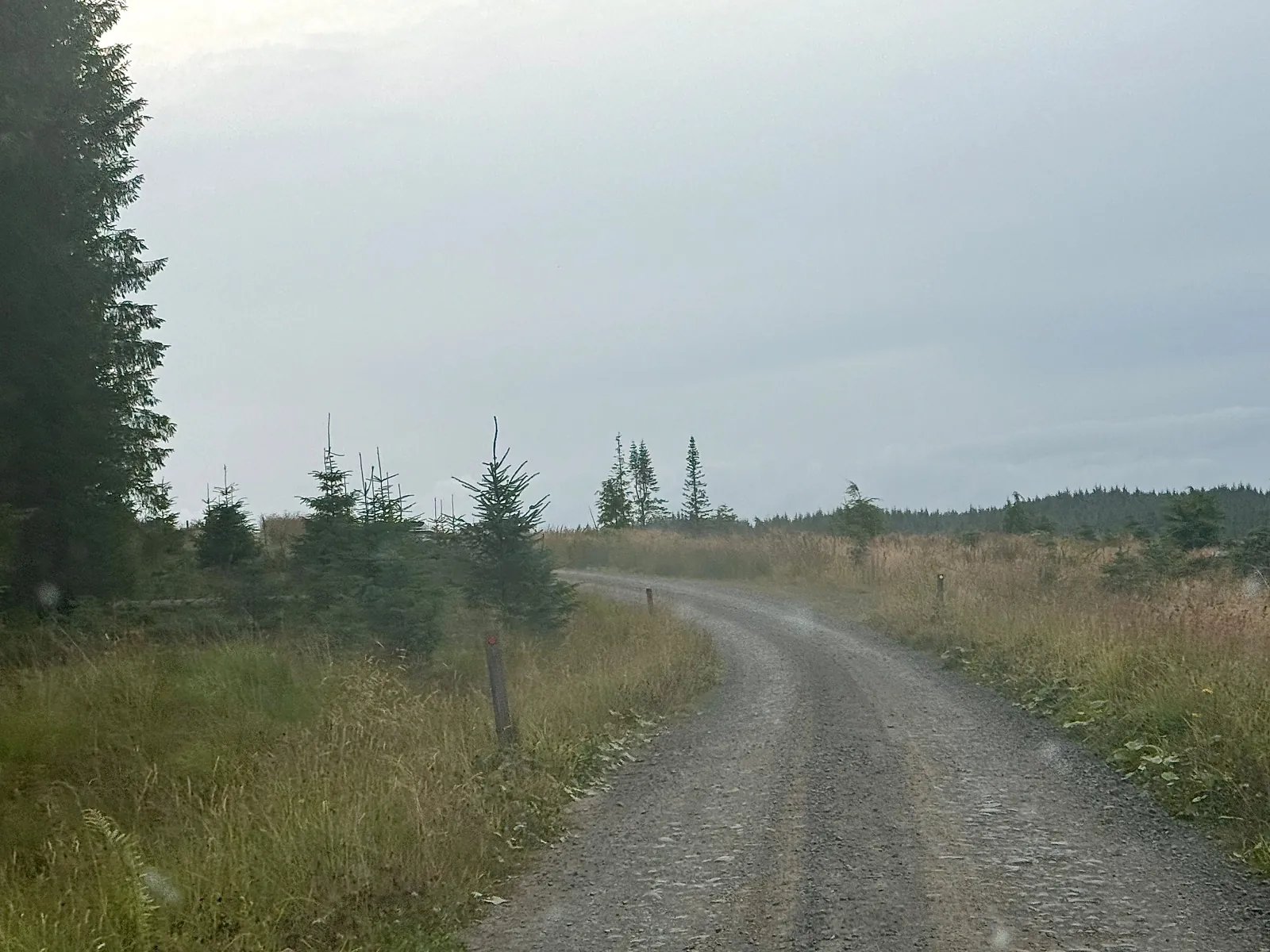
Access note: Kielder Castle is closed during renovation; trails, parking and Team Cycles remain open. Osprey Chick is closed, and Lonesome Pine has diversions.
Kielder is a mountain-bike destination on a much larger scale than a compact loop beside a café. The forest and reservoir sit in rural Northumberland, close to the Scottish border, with riding that ranges from a gentle former railway line to demanding descents from Deadwater Fell. The Lakeside Way links much of the wider destination, while the signed mountain-bike routes provide more focused outings. Choose the experience that suits your group.
Kielder Castle is the familiar starting point, but the building is undergoing renovation and remains closed to the public. That does not mean the forest is closed: the trails, parking and neighbouring Team Cycles shop continue operating. Plan a self-contained ride, with the right food and equipment, rather than expecting the castle to supply a full visitor-centre service. Match the day to your group’s fitness and navigation confidence.
Kielder Forest mountain bike trails and grades
Borderline
Green · 11 km
Much of this relatively level route follows the former Border Counties railway. It is the most straightforward named choice for new cyclists and families wanting a forest outing without a technical descent.
A shared path around Kielder Water, used by walkers, cyclists, horse riders and forest vehicles. Its modest technical ambition does not remove the endurance required for a complete circuit; choose a shorter out-and-back if needed.
From the castle, the route climbs along Forest Drive and follows flowing singletrack beside Kielder Burn and through the forest. It finishes on Lakeside Way, so plan the return connection. Osprey Chick is closed; that notice is distinct from the main route.
This route reaches Purdom Pike, with views across the North Tyne Valley. Timber trail carries riders over boggy ground. It is open with diversions: follow the signs, and treat wet wooden surfaces with particular care.
An extension towards the border that makes a substantial outing with Lonesome Pine. The combined distance is the relevant commitment; do not read it as an extra short loop to add when the group is already tired.
A summit outing on Deadwater Fell followed by constructed singletrack towards the castle. Choose it for riders comfortable with a demanding climb and descent rather than as the automatic step after a family route.
An expert route taking in the border summit and a demanding descent. Fitness and technical control both matter; a black route on an exposed fell is a separate decision from riding the forest’s blue singletrack.
Use Borderline, Lakeside Way, Osprey as distinct route choices, matching each grade and climbing commitment to the group. Follow current signs and closures, even where an older map shows a continuous connection.
For a first Kielder visit, Borderline offers a measured start, especially with children or hired bikes. If your group already enjoys blue singletrack, choose Osprey instead and identify the Lakeside Way connection before setting off. Keep these as different plans rather than forcing beginners to follow the longer blue outing simply because everyone began at the castle.
Experienced riders can choose Lonesome Pine for a red day or Deadwater for a summit-focused outing. Take the longer Bloody Bush combination only when there is enough time for the complete ride. Choose a clear return rather than adding unplanned distance.
Where is Kielder Forest?
Use Kielder Castle, NE48 1ER, as the starting reference for the routes above. Official directions →
Use Kielder Castle, NE48 1ER, as the starting reference for the routes above. Follow signs from Bellingham or Newcastleton to the reservoir road and castle. Prepare fuel or battery range for a rural visit rather than expecting every junction to have services. Forest Drive is a separate seasonal toll road, not a necessary approach to the castle.
Forestry England lists £2.50 for one hour or £6.50 for the full day, with the day ticket transferable between participating site car parks. Kielder Castle parking is card-only, and charges also apply to Blue Badge holders. Check your chosen car park’s terms before leaving the vehicle, particularly if the itinerary includes an evening activity.
The destination’s transport page describes a Saturday bus from Bellingham connecting with the Hexham service. Establish the current timetable and return journey before committing to a car-free trip, and confirm bicycle carriage separately. Hiring at the castle can avoid depending on an unconfirmed bike space.
Team Cycles sits opposite the castle and offers adult and children’s hire bikes, trailers, electric bikes and adaptive-bike booking. It also provides workshop support. Reserve the equipment your group needs in advance and discuss the intended route; the existence of a hire fleet does not make every model appropriate for a black descent.
The shop advertises coffee, refreshments, pizza and ice cream. This is a useful alternative while the castle café is closed, but still plan ride food before setting off on the longer routes. Do not rely on a refreshment stop appearing halfway through an upland circuit. Arrange repairs before starting.
Bike hire at Kielder Forest
Team Cycles Kielder offers bike hire, including electric and adaptive options, alongside its workshop. Arrange adaptive equipment and the correct bike size directly in advance.
Use the current castle-area parking tariff and card-payment instructions. Visitor facilities, cycle hire and trail access have separate arrangements; consult the active notices before choosing your loop.
Lonesome Pine’s raised timber sections cross boggy terrain: after rain, allow more braking distance and avoid sudden steering on wood. Higher routes such as Deadwater expose the group to conditions beyond the sheltered trailhead. Wind, cold and poor visibility are good reasons to select a lower route, even if you travelled specifically for a summit ride.
In shorter daylight, plan the return connection first and resist adding Bloody Bush late in the outing. A full Lakeside Way circuit is also a substantial distance despite its shared-path character. Respect forestry diversions and working vehicles; barriers protect visitors as well as staff, and a closed section is not a challenge to find a way around.
Staying in Kielder village or around the reservoir reduces the need to turn a long ride into a long drive afterwards. The Forest Bar and Kitchen at Kielder Waterside serves pub food throughout the year, with restrictions during major events. Book around your riding plan and check availability for the actual evening; a restaurant elsewhere on the reservoir is not an on-trail refuelling stop.
For a separate non-riding experience, book an astronomy session at Kielder Observatory. All sessions require advance tickets, so arrange it alongside accommodation rather than assuming you can turn up after riding. Leave time for a meal and warm clothing between activities, and avoid promising clear-sky views: the programme and weather determine the evening’s experience.
Some links are affiliate links — if you book, we may earn a small commission at no extra cost to you.
Displayed distances are straight-line estimates using OpenStreetMap contributors (ODbL), not road journeys. Ask the property about secure bike storage and wet-kit arrangements before booking.
RIDE PREPARATION
Kit for this ride
Consider what suits the route, forecast and your own experience.
Yes. The renovation notice says the walking and cycling trails and Team Cycles remain open. The castle building and its café should not be assumed available.
Which Kielder route suits beginners?
Borderline is green graded and largely follows the former railway. For a lakeside outing, choose a manageable portion rather than assuming the entire 42 km Lakeside Way is a short family circuit.
Is the Osprey trail closed?
The main Osprey route is listed open, with directions to follow forestry signage. Osprey Chick has a separate closure notice, so do not confuse the two.
Are legal e-bikes welcome at Kielder?
Forestry England welcomes electrically assisted pedal cycles meeting UK EAPC rules. Team Cycles also offers electric-bike hire. Choose a route suited to the rider’s handling skills, regardless of assistance.
How long is Bloody Bush with Lonesome Pine?
Forestry England gives 33 km for the combined red outing. Plan the full distance and return rather than treating Bloody Bush as a short independent circuit.
Build mountain-bike endurance, strength and confidence with practical food, hydration and recovery planning, including an individual return after injury.
Official links
Trail conditions change — check the official page before you travel.