Pitfichie is an Aberdeenshire forest where the hills are part of the attraction. Granite riding and woodland link together above the Vale of Alford, with Bennachie in the wider view. This is a good choice for riders who enjoy earning their descents and reading natural rock. The setting rewards a deliberate outing: leave time for the ascent, the hilltop pause and the return rather than arriving with a fixed number of downhill laps in mind.
The official Forestry and Land Scotland routes give first-time visitors a useful framework, while Aberdeenshire Trail Association maintains adopted trails in the wider network. Those are different ways of describing the riding. A named downhill line is not a complete car-park circuit, and an independent trail does not inherit the length of a nearby waymarked route. Choose your objective before heading into the forest, particularly when riding with people whose technical confidence differs.
Pitfichie mountain bike trails and grades
Granite Top Trail
Red / Difficult · 6.4 km
Branch from Cairn William near King’s Stane at marker 16. A rocky climb leads to the technical Devil’s Staircase, with tight turns and small drops. Follow the west-to-east arrows; reaching the trail adds approach riding.
FLS describes a summit-starting expert descent involving granite slabs, roots, rocks and substantial drops. Its published distance is the downhill trail, not the climb back or a complete outing from the car park.
This shared circuit passes Whitehills Stone Circle and provides access into the riding. Expect long slopes, gravel, grassy stretches, roots and mud. The published strenuous classification is for walking; it is not a blue MTB grade.
ATA describes the original downhill with a rebuilt lower section following Storm Arwen, including berms, drops and rock gardens. Treat its current description as additional context; no separate measured distance is promised here.
The forest map locates the Cairn William and Pitfichie hill network. Distinguish the cross-country route from the challenging downhill and current adopted lines.
For a first visit, begin with the mapped shared approach and decide whether the red technical branch suits everyone. Cairn William is useful for orientation, but its full distance and slopes mean it should not be treated as a little warm-up loop. A shorter out-and-back towards the stone circle can introduce the setting without committing the group to the whole circuit. Allow walkers and horses room when making that choice.
Experienced riders can make Granite Top the main objective, keeping the approach and return in their energy budget. Study the downhill connection separately before adding it: confidence on an ordinary red forest loop does not automatically prepare someone for expert downhill features. If exploring ATA’s wider trails, use its individual trail information rather than assuming every turn from the official route has the same grade or easy return.
Where is Pitfichie?
The signed forest entrance is on the north side of the B993 between Monymusk and Tillyfourie. Use the Pitfichie Forest cycle trails turn, with AB51 7SS as the nearest postcode. Official directions →
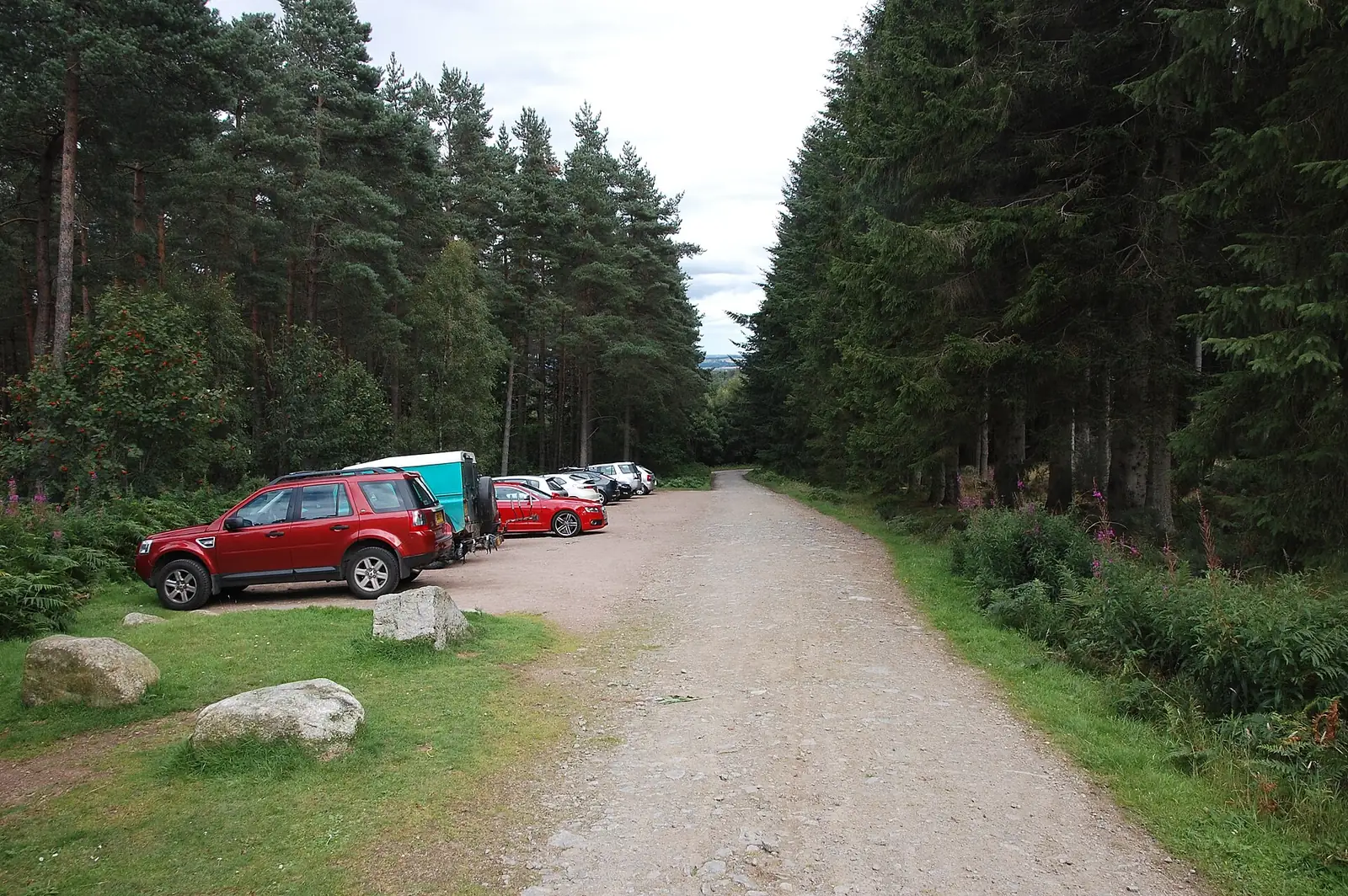
The signed forest entrance is on the north side of the B993 between Monymusk and Tillyfourie. Use the Pitfichie Forest cycle trails turn, with AB51 7SS as the nearest postcode. FLS warns that the hamlet of Pitfichie is elsewhere, so a name-only satnav search can deliver you to the wrong place. The forest car park is free; finish loading there before joining the riding.
FLS identifies buses between Monymusk and Alford that pass near the forest and directs visitors to Traveline Scotland. Build a car-free plan around the actual stop, return service and operator’s bicycle arrangements. A service passing close to the forest does not establish that a full-size bike can board, or remove the final road approach. Settle those details before choosing a long hill session.
This visit centres on forest parking, trails, viewpoints and an ancient monument. FLS places the nearest public toilets in Alford and recommends Monymusk or Alford for food. Make the toilet stop and pack lunch or trail food before arriving. Keep enough water for the climb and return; planning a town stop afterwards is more dependable than expecting refreshments beside the riding.
The official map is worth carrying because it shows how the shared approach, red branch and downhill fit together. Save it before leaving town and use the marked junctions to keep the group together. Stopping at a junction to confirm the route is particularly helpful here: a wrong downhill commitment can cost much more effort to undo than a missed turn on a compact beginner loop.
Granite and roots demand a different judgement when wet or frosty. Shorten the technical objective if conditions make the rocky climb awkward, rather than spending all your confidence reaching the descent. The hilltop outlook also makes clothing for the pause worthwhile. In shorter winter daylight, count the approach and return first and add technical riding only when there is a comfortable margin.
Alford is a practical food and toilet base after the ride. The Haughton Arms on Main Street has a restaurant and bar, making it a possible place for a meal when the group wants to sit down. Contact the hotel for current service times: its restaurant page asks visitors to confirm them. Arrange the meal around your return rather than rushing the final descent to meet an assumed kitchen deadline.
Grampian Transport Museum offers a separate Alford outing with transport exhibits and a seasonal visiting programme. Its current visitor page lists a late-March to late-October season, with an earlier afternoon closing during October. Give it its own time allowance instead of assuming it will still be open after an evening ride. That makes a useful shared plan when someone in the party prefers an indoor activity to technical trails.
Some links are affiliate links — if you book, we may earn a small commission at no extra cost to you.
Displayed distances are straight-line estimates using OpenStreetMap contributors (ODbL), not road journeys. Ask the property about secure bike storage and wet-kit arrangements before booking.
RIDE PREPARATION
Kit for this ride
Consider what suits the route, forecast and your own experience.
FLS specifies west to east, following the arrows. Approach the branch from Cairn William at marker 16 rather than reversing the technical descent.
Is the downhill distance my whole ride?
No. The 1.6 km figure describes the official downhill. Summit access and the return add riding and effort, so plan the entire outing separately.
Does Cairn William have a blue MTB grade?
No blue grade is published here. It is a shared 18.6 km trail with a strenuous walking classification, long slopes and variable surfaces.
Are toilets beside the forest parking?
FLS directs visitors to public toilets in Alford. Include that stop in your journey and bring what you need for the forest session.
Why does ATA call the downhill Phoenix?
Its trail page describes the original Pitfichie downhill with a new lower section following storm damage. Do not treat that name as a separately measured complete loop.
Develop braking, cornering, climbing and technical riding through deliberate practice, with sensible progression for roots, rocks, steeps, wheel lifts and jumps.