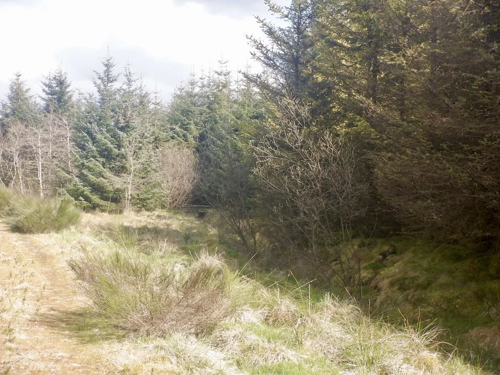
Carron Valley combines a compact red-grade mountain-bike outing with the quieter landscape around its reservoir. Eas Dubh, Cannonball and Runway give the riding its identity: linked singletrack, a sweeping descent and a feature-filled freeride finish. The published eight-kilometre route is short enough for a focused session, but its grade matters more than the distance. Steep sections and technical features make it a day for riders with established off-road skills.
The setting also works for a mixed group. Someone who wants a gentle waterside outing can use the Loch Shore Trail, while proficient mountain bikers head for the red network. Agree those separate choices before setting off. Reservoir views, woodland wildlife and places for a picnic give companions a worthwhile visit without making the technical circuit their objective.
Carron Valley mountain bike trails and grades
The Red Route
Red · 8 km
FLS presents the mountain-bike network as one eight-kilometre red outing. Its named descents are parts of that experience, not three additional eight-kilometre loops. Expect changing surfaces, climbing and technical riding. Use the route card to understand the connections before deciding how much of the network to ride.
Eas Dubh, meaning Black Waterfall, is a named descent; Cannonball gives the route its sweeping singletrack character. Pause for views clear of other riders, then descend cautiously on your first visit.
The freeride finish includes berms, jumps, stone drop-offs and tabletops. Its features need appropriate judgement. Inspect a line before committing and keep your speed within what you can manage.
FLS recommends this reservoir-side route for a family walk or cycle. Its firm gravel includes loose or uneven patches, some short steep slopes and boardwalk, so take it at a shared-path pace. The published moderate rating belongs to the walking trail; it is not evidence of a blue mountain-bike grade.
For a novice, choose the Loch Shore Trail and enjoy the reservoir setting. Allow time to stop at the play features or picnic places rather than measuring the trip against a mountain-bike lap. Use controlled braking on gravel and short slopes, and watch for other visitors.
Experienced red riders should make their first network lap an assessment of the surfaces and feature choices. The 2025 refurbishment included resurfacing and improvements to the riding, so previous familiarity is not a reason to charge into the descents. Once you know the connections, decide whether another full lap or focused practice on a permitted section better suits your energy and the conditions.
Where is Carron Valley?
Carron Valley is reached from between Denny and Fintry. Use FK6 5JL alongside the official entrance directions. Official directions →
The main riding car park is at the eastern end of Carron Valley Reservoir, on the south side of the B818 between Denny and Fintry. FK6 5JL is the nearest postcode. Use the named Carron Valley entrance rather than the smaller Meikle Bin parking area at the western end, which serves a different starting point for walks.
Current parking is £1 for up to an hour or £4 for the day, payable with coins, card or RingGo. Blue Badge holders park free when displaying their badge. An hour can disappear quickly while preparing bikes and riding the circuit, so choose the day tariff for a relaxed session with a picnic. Keep access clear and complete your bike preparation before joining the trails.
FLS lists toilets, accessible toilets, picnic space and viewpoints at the main site. Bring your own riding food, water and ordinary repair supplies, and decide on a meal stop before leaving home. Those basic forest facilities make a useful starting base, but your day should not depend on buying a missing tube or lunch after you have parked.
FLS describes the purpose-built mountain-bike trails as designed for year-round use. That does not make the surfaces identical in every season: wet roots, large rocks and stone drop-offs call for more conservative entries than a dry lap. Leave enough daylight to complete the climbs as well as the descents. Following the refurbishment, FLS also asked visitors to clean bikes and clothing before leaving because of a larch plant-health notice; removing mud before the next destination is sensible forest etiquette.
Fintry provides a genuine village stop after riding. The Fintry Inn at 23 Main Street serves food and has a bar; its published schedule closes on Mondays, splits lunch and dinner Tuesday–Thursday, and provides a longer food service Friday–Sunday. Book or check the kitchen before planning your finish around a meal. Taking lunch to the forest lets you make the riding decision first and leave the pub as an unhurried extra.
For non-riders, keep a reservoir-side walk as the simplest plan, with time for wildlife watching and the views. A more ambitious alternative is Meikle Bin, reached from the western reservoir parking area. FLS describes a tough climb through woods onto open hillside and says the route is not waymarked, so take a map and suitable hillwalking equipment. Allow time and energy for this separate hillwalk.
Some links are affiliate links — if you book, we may earn a small commission at no extra cost to you.
Displayed distances are straight-line estimates using OpenStreetMap contributors (ODbL), not road journeys. Ask the property about secure bike storage and wet-kit arrangements before booking.
RIDE PREPARATION
Kit for this ride
Consider what suits the route, forecast and your own experience.
Is Carron Valley’s eight-kilometre ride suitable for beginners?
The official mountain-bike route is red grade, despite its compact distance. It needs competent off-road handling. For a gentler family cycle, FLS recommends the Loch Shore Trail instead.
Are Runway, Cannonball and Eas Dubh three separate full loops?
They are named parts of the linked red network. FLS gives eight kilometres for the overall red route; do not multiply that distance by the number of named descents when planning your visit.
Does Black Waterfall mean Eas Dubh is black grade?
No. Black Waterfall is the translation of the section’s name. FLS lists the route as red; a place name does not establish a separate severe grading.
Which car park should I use for the mountain-bike trails?
Use the main eastern reservoir car park off the B818. The smaller western Meikle Bin parking area is associated with the hillwalking approach, so check your destination before following a reservoir postcode.
Can companions do a walk while I ride?
Yes. The 4.5-kilometre Loch Shore Trail has reservoir views, picnic places and play features. It includes uneven gravel, short slopes and boardwalk, so choose footwear and a pace suitable for those surfaces.
Develop braking, cornering, climbing and technical riding through deliberate practice, with sensible progression for roots, rocks, steeps, wheel lifts and jumps.