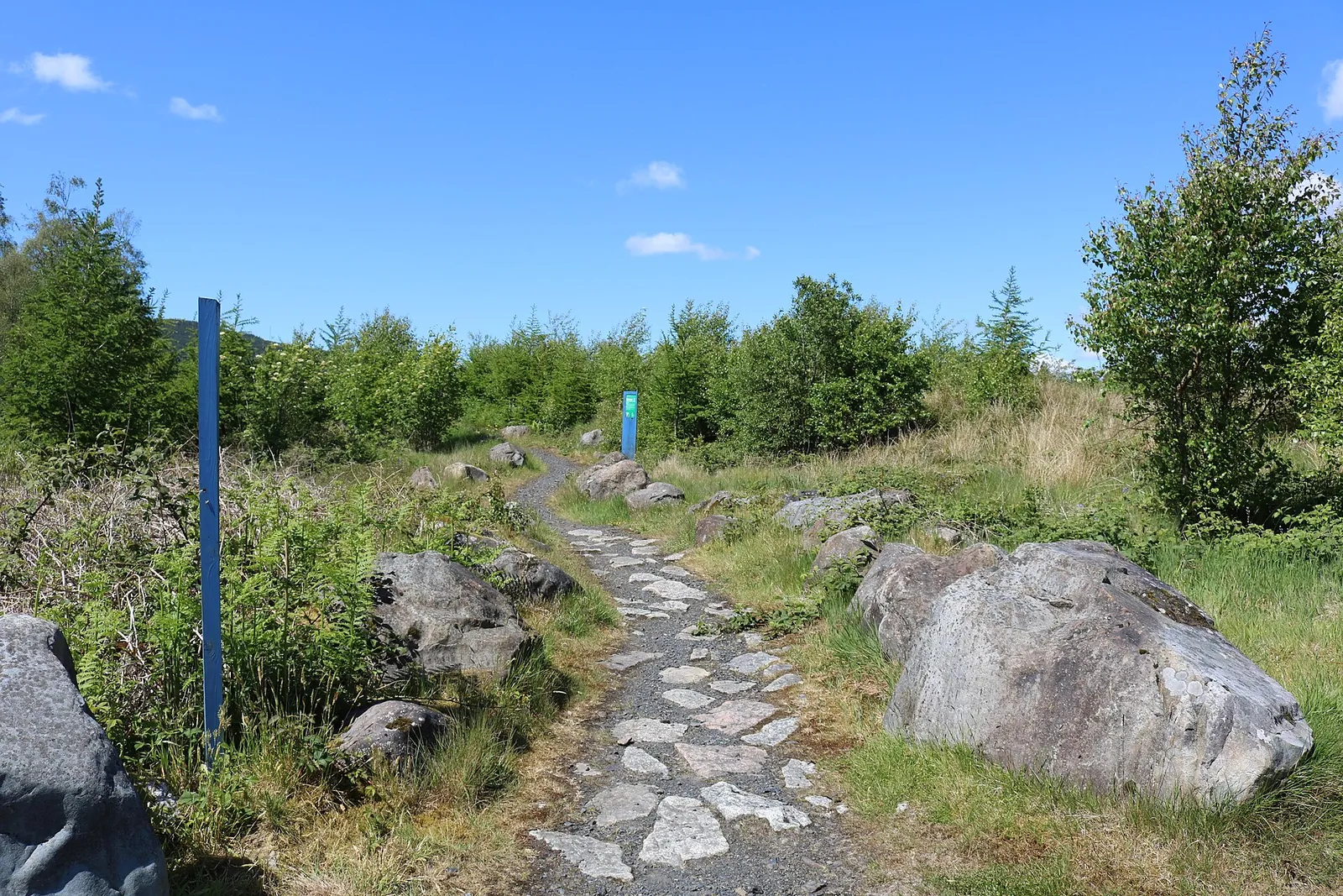
Glentrool is the 7stanes choice for combining a manageable woodland ride with a much bigger journey into Galloway Forest Park. The Glen offers easy cycling close to the hub, Green Torr provides a blue-graded climb and descent, and Big Country heads out on forest and minor public roads. These are different kinds of outing, not simply three rungs on the same technical ladder. A competent singletrack rider still needs the fitness and day plan for the long road-and-track circuit.
The setting is part of the attraction: lochs, wooded glens and the Galloway hills give the longer ride a sense of travel beyond a small trail-centre lap. At the hub, the café and walking trails make a mixed cycling-and-walking visit possible. For mountain bikers seeking severe technical singletrack, the local route selection is green and blue. Come here for the landscape and the scale of the Big Country day rather than expecting a red or black trail network at the same start.
Glentrool 7stanes mountain bike trails and grades
The Glen
Green · 6 km
A leisurely route through Palnagashel Glen, following the Black Linn and passing larch woodland. Forest track is mixed with a gentle singletrack section, giving families an introduction to the surroundings without the longer climb of Green Torr. Leave space to stop and look around; the route’s appeal is an unhurried outing rather than covering the distance quickly.
Climb through the forest towards views of Loch Trool before a longer descent back to the hub. The official description emphasises relatively welcoming singletrack without large rocks and roots, but the climbing is meaningful. FLS identifies a steady 218-metre climb; use that to judge the sustained uphill effort rather than treating it as the total for every rise on the circuit.
A long circuit using forest roads and minor public roads, with no technical singletrack. Sustained climbing and sharper descending make it a substantial physical day despite the broad surfaces. The official route card allows several hours for the outing. Carry the map and plan food, water and daylight around the complete circuit instead of assuming blue-trail fitness guarantees an easy finish.
The route card separates the short Glen and Green Torr rides from Big Country. Big Country uses forest and minor public roads and is a much longer undertaking.
Choose The Glen for your first easy ride here, particularly with a family or a group still getting used to off-road surfaces. It combines a small amount of singletrack with forest track without sending you straight onto the longer hill. Riders already comfortable on blue can make Green Torr the main outing and enjoy its climb-to-descent shape at a pace that leaves control for the return.
For experienced riders looking for a day of exploration, Big Country is the distinctive option. It changes the question from “can I ride this feature?” to “can I comfortably finish the whole route?” Agree the route before leaving, carry an offline map and avoid planning it as a late add-on after Green Torr. The minor public-road sections also need a different awareness from dedicated singletrack: expect other road users and ride accordingly.
Where is Glentrool 7stanes?
The visitor-hub turn is signed from the unclassified road heading north from Glentrool village; DG8 6SZ is the nearest postcode. Follow the hub signs rather than navigating only to Loch Trool, since the trail start and café are a different destination from Bruce’s Stone farther along the road. Official directions →
The visitor-hub turn is signed from the unclassified road heading north from Glentrool village; DG8 6SZ is the nearest postcode. Follow the hub signs rather than navigating only to Loch Trool, since the trail start and café are a different destination from Bruce’s Stone farther along the road. Keep the start location consistent when arranging to meet companions.
Parking is charged, with coins, card or RingGo listed as payment methods; Blue Badge holders park free when displaying the badge. National Cycle Route 7 passes through Galloway Forest Park and links the visitor hubs, offering a cycling approach for a planned longer trip. Do not confuse that route with the numbered 7stanes mountain-bike loops when choosing your arrival route.
Glentrool’s café is the main practical stop for refreshments, and its toilet provision includes accessible facilities. Toilets are available only during normal café opening hours, so do not build an early start or late finish around unrestricted access. Take everything needed for the full Big Country ride rather than relying on a service stop in the hills.
A shorter Glen or Green Torr day can finish with time at the hub, watching woodland birds around the feeders. This is also a useful meeting point if part of the group walks while others ride. Set a clear return arrangement before splitting up: the short local loops and the much longer Big Country circuit are not interchangeable waiting-time plans.
Parking accepts coins, card or RingGo; displayed Blue Badges qualify for free parking. The toilets are available during normal café opening hours, so plan early starts and late returns independently of them.
The longer circuit’s hills and distance make weather and daylight especially important. In rain or poor visibility, shorten the plan to a local loop rather than turning a scenic day into an endurance commitment. Forest roads are still off-road surfaces and can be loose or uneven; the absence of technical singletrack does not remove the need for controlled descending.
For Green Torr, leave energy for the descent after the sustained climb and adjust your speed to the ground rather than the blue label alone. Around the hub and loch, follow the current tick advisory and check yourself after the visit. Keep any café stop within its service hours, particularly when a winter ride begins early or ends near dusk.
Newton Stewart is a useful base when the visit needs a choice of accommodation and an evening meal away from the forest hub. Creebridge House Hotel in Creebridge has a bar and brasserie, serving lunch and evening meals, so it offers a concrete dinner option after returning from Glentrool. Reserve and check service times before setting a finish deadline for Big Country; packing up and travelling back are part of that schedule.
For a non-riding day, use the Goldcrest walking trail, a 2 km woodland circuit with moderate gradients and short steeper ramps. It offers a smaller outing than the longer Water of Trool walk or a full Loch Trool circuit. The area’s birdlife and mountain garden provide another reason to linger near the hub without committing to a hill walk after a substantial cycling day.
Some links are affiliate links — if you book, we may earn a small commission at no extra cost to you.
Displayed distances are straight-line estimates using OpenStreetMap contributors (ODbL), not road journeys. Ask the property about secure bike storage and wet-kit arrangements before booking.
RIDE PREPARATION
Kit for this ride
Consider what suits the route, forecast and your own experience.
No. It is a 58 km forest-road and minor-public-road ride with no technical singletrack. Its challenge is the distance, climbing and descending, rather than a red-grade feature list.
Which route suits an easy first Glentrool ride?
The Glen is green and 6 km, mixing forest track with gentle singletrack. Green Torr is the blue 9 km option with a more substantial climb and descending finish.
How long is the Big Country route?
The published circuit is 58 km on forest roads and minor public roads. Allow a substantial part of the day for its climbing, descents and food stops; it is a separate outing from the shorter hub loops.
Can I use the toilets before the café opens?
The operator says toilets are available only during normal café opening hours. Plan an early departure or a late return with that restriction in mind.
What can companions do while I ride?
The Goldcrest walk is a 2 km woodland circuit, and the hub has a café and bird feeders. Agree when to meet, particularly if you are riding the much longer Big Country route.
Build mountain-bike endurance, strength and confidence with practical food, hydration and recovery planning, including an individual return after injury.