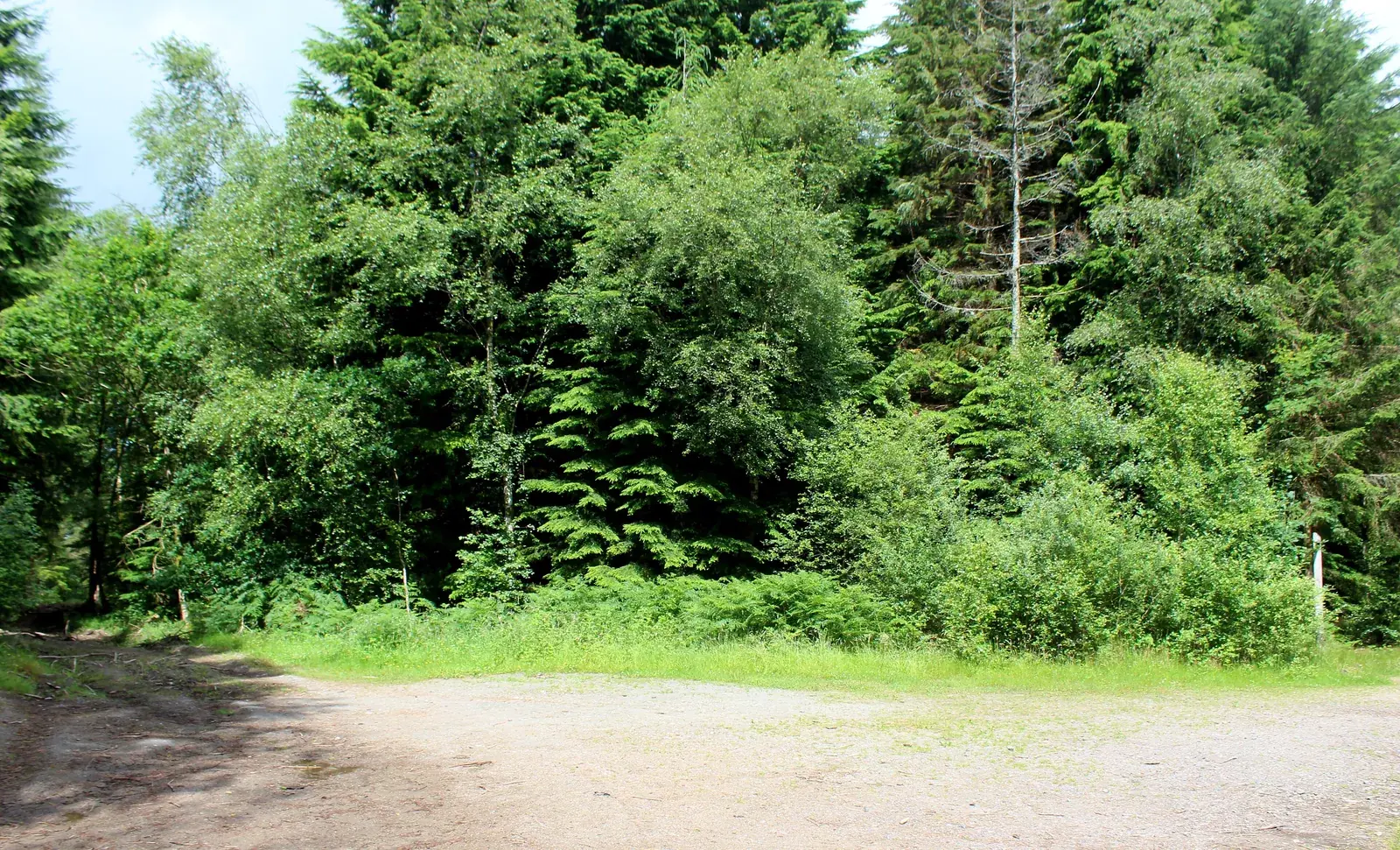
Access note: Ironhash is diverted at Cloak Cut. Hardrock has windblow diversions at Road to Nowhere and Spooky Wood II, plus a diversion between posts 76 and 83.
Dalbeattie gives a Dumfries and Galloway riding trip a distinctive granite character. The forest sits beside the town, with views towards the Urr estuary and routes that introduce progressively more rock. Choose it for practising measured technical riding rather than treating every descent as a race. Its best-known feature, the Slab, belongs to the demanding end of that progression; you can enjoy the centre without making it your first objective.
There is a useful choice between broad forest-road riding, blue singletrack and a longer red outing with optional black features. That makes Dalbeattie workable for companions who want different days, provided everybody chooses their own suitable route. The surrounding woodland also has walking trails and Plantain Loch, so a visit need not be entirely about bikes. Separate the mountain-bike trailhead from Town Wood when arranging meeting points: the forest has more than one entrance.
Dalbeattie 7stanes mountain bike trails and grades
Ironhash Trail
Green: Easy · 11.5 km
Mainly forest roads, with a climb to a viewpoint over Dalbeattie. This is the gentlest named circuit and a sensible choice for riders prioritising a woodland outing over technical features. A diversion bypasses Cloak Cut between posts 69 and 70/71.
Rock, roots and steady climbing introduce the centre’s singletrack, with views across the Urr estuary. Approach it as a technical step beyond Ironhash rather than simply a slightly longer version of the green route.
The longer, rougher circuit includes optional black features and the steep granite Slab. Its current diversions bypass Road to Nowhere, Spooky Wood II and another section between posts 76 and 83. The headline distance describes the published route, rather than a measured diverted circuit.
The official route card includes this shorter blue option. Use it to sample singletrack without immediately committing to the whole Moyle Hill circuit, following the trailhead map and current on-site signs.
A short distance still carries a red technical grade. This is a useful choice when available daylight is limited, but it is not a beginner shortcut into red riding.
Ironhash, Moyle Hill and Hardrock leave the mountain-bike trailhead. The map also shows blue and red taster options; Town Wood walking parking is a separate destination.
Begin with the skills area, then use Ironhash if this is your first mountain-bike centre or you are riding with children who need the easiest option. Riders already comfortable with blue trails can make the Blue Taster Loop their introduction to the granite. A short first lap helps you judge the surface without committing the group to a long circuit. Do not use confidence on broad forest roads as the sole reason to move straight onto rockier singletrack.
For an experienced rider, Hardrock is the main longer outing; the Red Taster Loop offers a more compact alternative. Keep optional black sections genuinely optional, especially when riding with somebody new to exposed rock. Plan your day around the red route itself, rather than promising the group a particular feature before seeing the signed access. Allow a separate pause for food and a town visit instead of trying to squeeze another full circuit into the end of the day.
Where is Dalbeattie 7stanes?
Use the 7stanes Dalbeattie car park on the A710, south of town, for the bike trails. DG5 4QU is the nearest postcode. Official directions →
Use the 7stanes Dalbeattie car park on the A710, south of town, for the bike trails. DG5 4QU is the nearest postcode. Town Wood has a separate parking area for walking access. Car parking at the bike trailhead is listed at £1.50 for an hour, £2 for three hours or £3 all day; coin, card and RingGo payment are accepted. Blue Badge holders park free with the badge displayed.
Dumfries is the nearest railway station, with buses onwards to Dalbeattie. Consult Traveline Scotland for the actual connection and check bicycle carriage with the relevant transport operator before relying on a bus journey with your bike. Arrange the final approach to the 7stanes entrance separately from your arrival in the town.
The forest has picnic facilities and a skills area. Public toilets, shops and food are in nearby Dalbeattie, so make a town stop part of the plan rather than expecting all services beside the trails. Pack lunch if you want to remain at the trailhead between rides. For a self-contained campervan, the 7stanes car park participates in the year-round Stay the Night scheme, with four spaces and a listed £10 overnight charge; large vehicles and caravans are unsuitable.
The 7stanes car park costs £1.50 for an hour, £2 for three hours or £3 all day. Coin, card and RingGo are accepted; displayed Blue Badges qualify for free parking.
Granite is the reason to come, but it also makes surface judgement especially important after rain or in icy conditions. Reduce ambition when the rocks or roots feel less predictable, using a taster loop to reassess before choosing a longer circuit. Windblow has already affected parts of the signed network, so forest conditions matter as much as the weather forecast. In shorter daylight, choose a compact ride that leaves time to return without rushing the rocky finish.
Camping and places to stay near Dalbeattie 7stanes
A base in Dalbeattie
Dalbeattie is the practical town base for food, toilets and shopping before or after the ride. Clonyard House Hotel, outside town, has a bar and restaurant advertising Scottish breakfasts, fish and chips and Thai food. It is an option for a sit-down meal after a forest day; confirm kitchen availability and reserve a table if that meal anchors your evening. Choose accommodation around where you want to eat as well as where you want to ride, and ask your host about keeping bikes safely overnight.
For a non-riding outing, start from Town Wood and explore the forest on foot. The Quarry Trail is a published 3.7 km walking route, with a steep approach to the old quarry and some rocky, muddy sections. It connects the granite under your tyres with Dalbeattie’s quarrying history: stone from this area went into streets and buildings elsewhere in Britain. Plantain Loch offers another focus for a quieter woodland visit, with ducks and dragonflies highlighted by the land manager. Change footwear rather than assuming the walking paths are all smooth.
Some links are affiliate links — if you book, we may earn a small commission at no extra cost to you.
Displayed distances are straight-line estimates using OpenStreetMap contributors (ODbL), not road journeys. Ask the property about secure bike storage and wet-kit arrangements before booking.
RIDE PREPARATION
Kit for this ride
Consider what suits the route, forecast and your own experience.
No. It is associated with Hardrock’s optional black features, while Ironhash and Moyle Hill offer easier graded outings. Choose the route that fits your group.
Is there a short blue ride at Dalbeattie?
Yes. The official route card lists a 4 km Blue Taster Loop, as well as the longer Moyle Hill circuit.
Which car park starts the mountain-bike trails?
Use the 7stanes Dalbeattie car park on the A710. Town Wood is the separate starting point highlighted for the walking trails.
Can I get to Dalbeattie by train?
Travel by rail to Dumfries, then arrange the onward journey to Dalbeattie and the forest. A bus connection does not itself confirm bicycle carriage.
Where can I eat after riding?
The town has food options; Clonyard House Hotel outside Dalbeattie also operates a restaurant and bar. Check meal availability before travelling there.
Develop braking, cornering, climbing and technical riding through deliberate practice, with sensible progression for roots, rocks, steeps, wheel lifts and jumps.