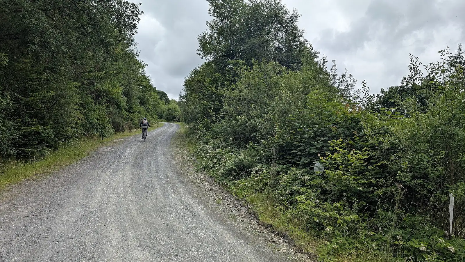
ClimachX is a forest circuit above Ceinws, north of Machynlleth, with a reputation built around its singletrack and final descent. The official route is fifteen kilometres with 450 metres of climbing: manageable to fit into a day, but substantial enough to reward good pacing. Choose it for a self-contained pedal-powered outing through Dyfi Forest, rather than expecting the managed uplift experience of nearby Dyfi Bike Park.
The strongest reason to come is the terrain rather than the distance alone. Forest-road connections earn the singletrack, and the closing Tony the Tiger descent brings natural-feeling rocks, slabs, drops and switchbacks. Save concentration for that final section. A rider comfortable with sustained climbing but uncertain on technical descents will have a different experience from someone who can read and control both parts of the route.
ClimachX mountain bike trails and grades
ClimachX circuit
Red · 15 km · 450 m
The official waymarked circuit links forest-road climbing with named singletrack sections. Natural Resources Wales estimates one to two hours for the standard ride, but add time for inspecting features and stopping. Use the full circuit’s difficulty when choosing the destination rather than treating its compact mileage as a beginner recommendation.
The final descent contains rocky technical riding, slabs and a demanding left turn before switchbacks. Mountain Bike Wales specifically identifies the second half as black. This is a section of the circuit, not a separate measured loop; inspect warning-marked features before riding them.
The NRW PDF maps the pedal-powered circuit from Ceinws, numbered location posts and the demanding finishing descent. Follow current waymarkers and warnings.
For a first ClimachX visit, plan one steady circuit and keep enough energy for the finish. Read the start panel and have the official map available before leaving the parking area. Decide with the group how to handle unfamiliar technical features: stopping clear of the riding line to inspect is more useful than discovering someone needs help after the rest have descended.
Experienced riders can use the early singletrack to judge grip and rhythm, then approach Tony the Tiger as a fresh decision rather than automatically carrying speed from previous sections. The official trail card marks some features as being at the top of the grade. Give those warnings attention even if the overall route grade feels familiar, and keep the numbered waymarkers in mind when describing your position.
Where is ClimachX?
ClimachX is reached from Ceinws / Machynlleth. Use SY20 9TF alongside the official entrance directions. Official directions →
Ceinws is about four and a half miles north of Machynlleth. From the A487 towards Dolgellau, take the signed Ceinws turn, cross the stone bridge and follow the road right, then the blue parking signs. Use the actual parking destination at grid reference SH 760 063: SY20 9TF covers a wider area. Parking is free, with overnight parking prohibited. Arrange a permitted stay elsewhere if making a weekend of the Dyfi Valley.
Machynlleth is the nearest railway station identified by the land manager. Mountain Bike Wales also describes an approach from town using National Cycle Route 8. Include any road transfer in your total outing, rather than adding it after judging the forest route’s distance. Check the train’s bicycle arrangements and your return service before relying on a rail-based ride.
The trailhead is unstaffed, and Mountain Bike Wales describes no facilities there. Bring water, food and the repair kit needed for an independent circuit. Do not plan around a reception, immediate mechanical help or a guaranteed food stop at the parking area. A map saved on your phone is useful, but keep enough battery for contacting help as well as finding the route.
The official trail card warns that mobile coverage is patchy and uses numbered location posts. Take a moment to understand those markers before riding, so you can give a useful location if needed. If riding with companions, agree who stays with a stopped rider and where the party regroups; forest junctions and a long finishing descent can separate a group faster than expected.
The Ceinws trail parking is free, with overnight parking prohibited. There are no staff at the trailhead; follow NRW closures and any date-specific forestry or event restrictions.
ClimachX sits on wooded hillsides in the Dyfi mountain landscape, with rock and slab features that need reassessment when wet. Leave extra time when conditions slow the group and avoid making the final descent a race against fading light. Mountain Bike Wales notes that motorsport events can temporarily close the forest trail. Check date-specific access and follow on-site instructions rather than assuming a regular weekly riding timetable.
Machynlleth offers the rail connection and broader town base, while Corris gives a nearby village meal option. The Slaters Arms on Bridge Street publishes a food menu and describes itself as a traditional village pub. Confirm current food service before arranging your finish around it. Pack something to eat on the circuit regardless: a pub meal is a useful reward after the ride, not a replacement for carrying enough energy through the climbs.
For a non-riding activity, Corris Railway runs heritage train rides along the Dulas Valley and has a museum at the station. Its operator publishes a 2026 passenger-service calendar and booking arrangements. Choose an operating date and reserve the desired departure rather than assuming trains run every day. The railway makes a distinct companion outing while riders are in the forest, with a planned pickup or meeting afterward.
Some links are affiliate links — if you book, we may earn a small commission at no extra cost to you.
Displayed distances are straight-line estimates using OpenStreetMap contributors (ODbL), not road journeys. Ask the property about secure bike storage and wet-kit arrangements before booking.
RIDE PREPARATION
Kit for this ride
Consider what suits the route, forecast and your own experience.
The published circuit includes 450 metres of climbing and is a pedal-powered forest outing. Do not confuse its Ceinws trailhead with the separate booking and uplift operation at Dyfi Bike Park.
Why does the final descent feel harder than the red grade?
Tony the Tiger includes rocks, slabs, drops and switchbacks, and Mountain Bike Wales grades its second half black. Assess that section on its own rather than relying solely on the overall circuit grade.
Will I find food or a mechanic at the trailhead?
It is an unstaffed forest start with no trailhead facilities described. Carry supplies for the circuit and organise meals or essential services in the surrounding towns and villages.
Does the former caretaker group closing mean the trail is closed?
Its announcement explicitly says Dyfi Valley trails remain open. Do not infer a riding closure from that organisational change; follow Natural Resources Wales access information and any on-site restrictions.
Can non-riders visit Corris Railway every day?
Passenger services follow an operating calendar. Check the railway’s chosen date and museum arrangements, then coordinate the departure with your riding and transport plan.
Build mountain-bike endurance, strength and confidence with practical food, hydration and recovery planning, including an individual return after injury.