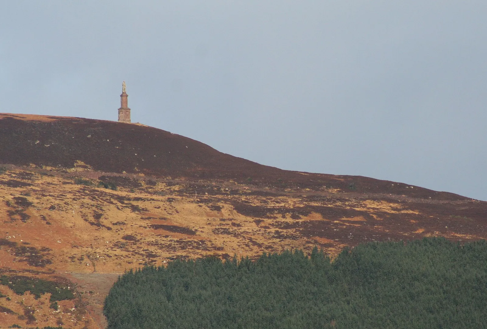
Highland Wildcat climbs above Golspie on Ben Bhraggie, with the East Sutherland coast below and an open hill above the forest. It is a useful riding stop on the North Coast 500, but deserves more thought than a quick roadside diversion. The summit black descends from moorland into woodland before joining red trails towards the car park. That change of setting is the attraction: a substantial hill outing that brings you back towards a coastal village rather than a remote finishing point.
The network also contains gentler blue and green riding. Choose those options deliberately if you are travelling with mixed abilities; the black summit line is an expert objective, not the obligatory way to experience Golspie. The trails are maintained by a volunteer community organisation, and parking income supports that work. Allow time to understand the trailhead information and choose a circuit that fits your energy, ability and onward travel plans. A shorter ride can leave room to enjoy the coast as well.
Highland Wildcat mountain bike trails and grades
Black Trail
Black · 13.6 km
The published full route is the expert hill outing. Its descent starts on Ben Bhraggie, crosses open moorland and continues into forest, returning through red sections. Narrow singletrack and rock features make this more than a fitness challenge.
A shorter published route for proficient off-road riders. It offers an alternative to making the whole summit black your first objective; use the waymarked network to keep the day within your technical comfort.
The intermediate choice for riders with basic off-road skills. Treat the blue as its own ride, with time to learn the junctions and judge the terrain before considering a harder circuit.
The community’s beginner and family option. Its short distance allows a modest first outing without making a hilltop descent the target. Start with the riders’ confidence and experience, rather than comparing distance alone.
Use Black Trail, Red Trail, Blue Trail as distinct route choices, matching each grade and climbing commitment to the group. Follow current signs and closures, even where an older map shows a continuous connection.
For a family visit, the community suggests Big Burn car park as an easier starting point. Begin with Pict’s Path or the blue choice, and agree which junction or trailhead you will return to before splitting a group. Some harder features have escape routes, but that does not turn every red or black line into a beginner route. Use the signs to choose a suitable circuit at the outset rather than relying on bypasses once committed.
Confident riders can make Ben Bhraggie the main goal and use the descent’s transition from open ground to trees as the defining ride. The volunteers explain that linking routes let many sections work as short circuits, so a repeat lower loop is another worthwhile choice. Keep a reserve for the descent: fatigue from the climb can matter as much as technical ability when rock features arrive quickly on narrow singletrack.
Where is Highland Wildcat?
Rhives is the main trailhead parking option described by Highland Wildcat, with a council car park farther down the road. Official directions →
Rhives is the main trailhead parking option described by Highland Wildcat, with a council car park farther down the road. Pay at the Wildcat machine when using its parking; the income goes towards trail maintenance and improvement. An annual trail pass can be displayed at the trailhead car parks instead of buying a machine ticket. Golspie lies beside the NC500, so riders arriving during a longer touring day should leave a realistic block of time rather than squeezing a large hill circuit between driving commitments.
Golspie has a ScotRail station on Station Road. Plan the train journey and bicycle carriage together: ScotRail carries bikes free, but some services require a cycle-space reservation. Work backwards from the return train when choosing the trail circuit, including time to get from the riding area to the station and stow the bike. The station has no toilets or refreshment facilities, so use the village for those needs before waiting for departure.
The practical support here starts with trailhead parking, waymarking and the volunteer-maintained network. Bring your riding essentials and arrange any specialist bike services before arrival. Golspie provides the wider base for meals and accommodation, allowing a ride-and-village day without assuming a staffed resort at the hill. Paying for parking is a direct contribution to keeping this community riding area usable; leave access clear for others and take your rubbish away.
Rhives trailhead parking uses Highland Wildcat’s meter, with income supporting volunteer trail maintenance. Annual trail passes are available; a council car park is farther down the road.
The summit descent begins on exposed moorland before entering woodland. Carry a layer for the climb and summit even if Golspie feels sheltered, and choose a shorter circuit if wind or visibility would make the high ground uncomfortable. In the forest, rocky singletrack deserves careful speed control after rain. Volunteers highlight winter-debris clearance, summer bracken cutting and autumn leaf work as recurring maintenance tasks: seasonal vegetation and fallen material can change what you see on a familiar line.
Golspie Inn offers a bar and restaurant, giving riders a named place to finish the day with a meal. Make the food stop fit your travel plan, particularly if you have a train reservation or a long onward drive. For a picnic instead, Go Golspie identifies tables at the Wildcat car park and around Big Burn. Take lunch with you if you want to pause after a short circuit, and leave the parking areas clean for the next visitors.
Dunrobin Castle, just north of Golspie, combines a self-guided castle visit with formal gardens and a museum. Its published visitor season runs from April to October, so it can make a substantial companion activity during the riding season. Carn Liath Broch offers another option: Historic Environment Scotland identifies the Iron Age settlement around three miles north of Golspie as free to visit year-round. Take strong footwear and particular care crossing the A9 to reach it.
Closer to the village, Big Burn Gorge gives non-riders a woodland walk over bridges to a waterfall. The community describes the walk to the waterfall as about twenty minutes, with picnic spots along the way. It works well for a separate walking outing when only some of your group wants to ride. Keep the walking plan distinct from the bike route so nobody expects a gorge footpath to be a mountain-bike descent.
Some links are affiliate links — if you book, we may earn a small commission at no extra cost to you.
Displayed distances are straight-line estimates using OpenStreetMap contributors (ODbL), not road journeys. Ask the property about secure bike storage and wet-kit arrangements before booking.
RIDE PREPARATION
Kit for this ride
Consider what suits the route, forecast and your own experience.
Do I have to ride the black to visit Highland Wildcat?
No. The network includes blue and green options, and the local community lists Pict’s Path for beginners and families. Choose a lower-commitment outing when the summit route exceeds the group’s experience.
How long is the full black route?
Go Golspie publishes 13.6 km for the black route. It includes a demanding hill ride; the number should not be treated as the length of one uninterrupted downhill section.
Where should a mixed-ability family start?
Go Golspie suggests Big Burn car park may be easier for families and novice riders. Identify the appropriate lower routes before setting out and keep the summit black separate from the beginner plan.
Can I visit without driving?
Golspie has a railway station. Plan bicycle carriage with ScotRail and check whether your chosen service requires a reservation, leaving enough time between finishing the ride and boarding.
What can companions do while I ride?
Big Burn Gorge provides a local waterfall walk. Dunrobin Castle offers rooms, gardens and a museum during its visitor season; Carn Liath Broch is a free year-round historical visit farther north.
Plan bike reservations, station access, car-rack limits, ferry boarding and flight packaging, including e-bike battery restrictions and car-free trail connections.
Official links
Trail conditions change — check the official page before you travel.