
Warm-up Loop
Blue · 1.1 km
Berms, flat corners and mellow climbs make a compact introduction to the forest’s riding. Use it to settle into the conditions and test the bike before spending longer away from the start.
Official route information →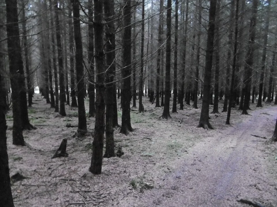
Near Craven Arms, Shropshire
Hopton Wood, beside Hopton Castle west of Craven Arms, combines a cross-country circuit with short introductory loops and separate black downhill tracks. It suits a day of deliberate progression: warm up, sample the technical features, then choose the longer XC ride or a specialist descending session. The largely unsurfaced trails change with season and weather, so the same named route can demand different skills on different visits. Decide the kind of ride you want before automatically heading for the hardest line.
Forestry England manages the trails in partnership with Pearce Cycles of Ludlow. The blue Warm-up Loop and red Qualifier provide a practical introduction before Pearce XC, while the downhill network includes roots, drops, jumps and steep sections. Those downhill tracks are separate expert objectives rather than compulsory pieces of the red circuit. A mixed group can use the short loops to judge confidence before agreeing whether to continue together or split into different riding plans.
Blue · 1.1 km
Berms, flat corners and mellow climbs make a compact introduction to the forest’s riding. Use it to settle into the conditions and test the bike before spending longer away from the start.
Official route information →Red · 0.7 km
A short step beyond the warm-up, sampling technical features found on Pearce XC. Treat it as a useful decision point: ride with enough control to judge whether the longer red route suits today’s group.
Official route information →Red · 12.6 km
A longer circuit with switchback climbing, flowing descents and technical downhill sections, travelling across the forest with Shropshire countryside views. Parts are shared with walkers, dogs and horses, so preserve room to slow and pass considerately.
Official route information →Black · 1–1.4 km downhill network range
Rooty corners precede a fast section with stumps and then steep technical ground. The route divides before rejoining; learn the chosen line and its junctions before attempting a faster run.
Official route information →Black · 1–1.4 km downhill network range
Flowing descending progresses into tabletops, doubles, steep corners and root drops, with two endings. Choose it for expert downhill riding, not as the easier alternative because the opening feels flowing.
Official route information →Black · 1–1.4 km downhill network range
Rough corners, rock drops and doubles lead towards faster descending. The published distance range covers the downhill network collectively; individual exact lengths are not separately supplied.
Official route information →Use Warm-up Loop, Qualifier, Pearce XC as distinct route choices, matching each grade and climbing commitment to the group. Follow current signs and closures, even where an older map shows a continuous connection.
Begin on the Warm-up Loop and move to Qualifier only when the blue feels controlled. The short red sample gives you a place to discuss the full XC choice while everyone is close to the start. A complete beginner may need more basic practice before taking on either red option. Do not make the twelve-kilometre circuit the default for a group that has not yet ridden together on this kind of woodland terrain.
Experienced riders can make Pearce XC the main outing and use its climbing and descending variety for a balanced technical day. Those arriving for black downhill should inspect the selected line and build speed gradually. Pearce Cycles runs bookable uplift days at Hopton, but these are dated events rather than an everyday service. Confirm the specific event before organising the day around vehicle-assisted laps, and respect any event arrangements affecting the trails.
Forestry England places Hopton Wood eight miles west of Craven Arms, off the B4385 towards Clun and beside Hopton Castle village. Official directions →
Forestry England places Hopton Wood eight miles west of Craven Arms, off the B4385 towards Clun and beside Hopton Castle village. Use postcode SY7 0QF or grid reference SO 355 784 for the car park. Parking is free, which makes a picnic-and-ride day straightforward, but keep entrances clear for other users. The operator publishes twenty-four-hour access, 365 days a year; plan around conditions and any individual operational restrictions rather than treating that as a promise about every trail.
Craven Arms station provides a rail option for the town base, with the forest still eight miles west by the operator’s location description. Plan the onward connection separately and leave enough time for the return. Transport for Wales carries bikes free but warns that space can be limited, so confirm the train and bicycle arrangements before relying on a rail-based riding day.
Find the planning area on a map →Two picnic tables in the car park provide a simple place to eat and regroup. Bring lunch, drinking water and the repair equipment for your bike so a mechanical problem on Pearce XC does not depend on reaching a staffed trailhead service. The official map is worth saving before arrival, particularly if the group splits between XC and downhill. Take rubbish home and keep the picnic break away from riding lines and shared access routes.
Plan this ride with your own mountain bike. The official visitor information describes rider facilities and access.
Forestry England publishes 24-hour, year-round access and free parking. Specialist uplift or downhill events are separately arranged; forest access does not guarantee an uplift session.
The operator emphasises that Hopton’s trails are largely unsurfaced. Use the warm-up to judge how the ground is riding after rain and leave extra braking room around roots, corners and steep transitions. A short introductory circuit may be the sensible option when winter daylight limits the visit. In dry weather, avoid assuming traction remains consistent through every section: the mix of climbing, flowing descending and technical terrain still rewards a controlled first lap.
Craven Arms is the practical town reference for approaching the wood. For a planned meal on the Ludlow side of the area, the Clive Arms at Bromfield offers lunch and dinner with ingredients from its farms and nearby producers. Its kitchen has specific service days and times, so book or confirm the meal rather than assuming food is available whenever you finish riding. That separate pub stop works well after changing out of wet forest kit.
Stokesay Castle, south of Craven Arms, is a distinctive non-riding visit. English Heritage describes a medieval fortified manor house with a timber-framed gatehouse, an audio tour and a family puzzle activity. Give it its own visiting time rather than trying to fit it around a final hurried downhill run. Companions staying nearer the wood can instead walk the forest roads and public rights of way; Forestry England advises an OS map and asks walkers to stay off the bike trails.
Some links are affiliate links — if you book, we may earn a small commission at no extra cost to you.
Displayed distances are straight-line estimates using OpenStreetMap contributors (ODbL), not road journeys. Ask the property about secure bike storage and wet-kit arrangements before booking.
RIDE PREPARATION
Consider what suits the route, forecast and your own experience.
Yes. The Warm-up Loop is officially blue and 1.1 km, with berms, flat corners and mellow climbs. It is the useful starting point before evaluating the red routes.
Qualifier is a 0.7 km red loop that samples technical features found on the 12.6 km Pearce XC. Use it to judge suitability before committing to the longer circuit.
They are listed separately as three black downhill routes. Choose them as specialist riding objectives rather than assuming they are unavoidable parts of the red Pearce XC circuit.
Pearce Cycles advertises dated uplift events at Hopton. Book the actual event; an ordinary forest visit does not guarantee an uplift service.
Use the forest roads and public rights of way instead. Forestry England asks walkers not to use the bike trails and recommends an OS map because the walking routes are not waymarked.
Staffordshire
Nottinghamshire
Dark Peak, Derbyshire
Shropshire
Northamptonshire
Marple Bridge, Greater Manchester
Set up mountain-bike fit, pedals, gearing, suspension and dropper controls using the right manuals, then test changes safely on familiar terrain.
Plan mountain-bike rides around UK rain, ice, wind and heat, with seasonal trail care, tick precautions and conservative decisions at water crossings.
Book the right uplift, riding pass, hire bike and coaching session, check equipment and carriage rules, and plan a controlled first bike-park day.
Trail conditions change — check the official page before you travel.
Open official site →