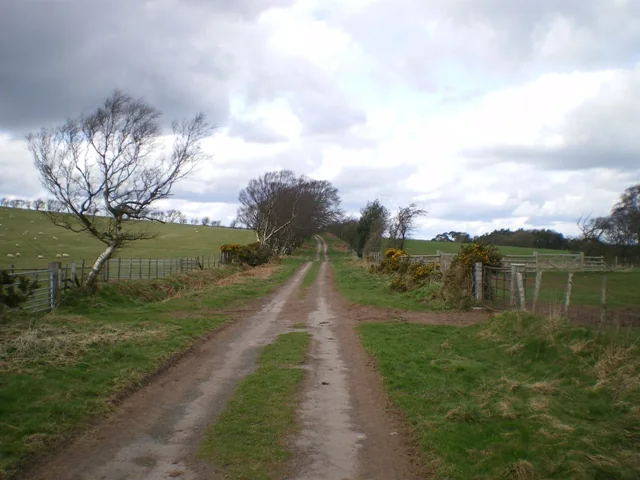
The Long Mynd is one of the great natural mountain-bike days in the Midlands: a broad upland plateau, rough climbing tracks and long descents into the Stretton valleys. The National Trust’s published classic circuit gives riders a legal line through Mott’s Road, Pole Bank and Minton Batch. The wider Shropshire Hills offer other bridleway connections, including the Portway and Jack Mytton Way, with towns and villages that work well for a multi-night trip.
This is shared countryside riding, with proper climbs and changing ground, not a collection of bike-park runs. Start with an official cycling itinerary and Explorer 217, The Long Mynd & Wenlock Edge. The National Landscape specifically asks riders to use approved routes on the conservation-sensitive Mynd. A well-worn path or a popular descent name cannot replace confirmation that bicycles are allowed.
Shropshire Hills / Long Mynd: classic mountain bike routes
Long Mynd classic cycle trail
Challenging · 26.08km
The National Trust’s complete circuit starts in Carding Mill Valley, climbs Mott’s Road and reaches Shooting Box and Pole Bank before descending through Minton Batch. It returns via Hamperley, forest tracks and the Portway, then uses another descent to Little Stretton. Follow the full published stages in order. This is a committed natural outing with technical sections and repeated climbing; the Trust’s estimated three hours should not become a deadline for a slower group.
The National Landscape identifies the Portway across the top of the Long Mynd as one of its easier off-road options. Easier describes the track, not the effort of getting onto the plateau or the weather exposure there. Use the approved mountain-bike map to choose an approach and return that match your group. Parts of the classic circuit also use the Portway, allowing you to recognise the main ridge connection before attempting a larger itinerary.
The National Landscape also names the Jack Mytton Way along Wenlock Edge for easier off-road riding. Choose a defined bridleway section and a sensible return; the name refers to a longer route, not a short loop with one standard distance. It offers an alternative part of the Shropshire Hills when the group wants a different landscape from the exposed Mynd. Establish the day’s actual length and road connections from a current map before leaving.
The approved MTB map distinguishes cycling routes from footpaths on the Long Mynd. The classic starts at Carding Mill Valley; Explorer 217 covers wider planning.
For a confident off-road rider’s first visit, use the National Trust classic route and begin early enough to ride without rushing. Let Mott’s Road establish the group’s pace. Pushing a difficult climb is a perfectly reasonable choice; arriving at a technical descent exhausted is less useful. Stop before the plateau junctions, match the next stage to the map and keep everyone together through the unfamiliar connections.
For a gentler outing, plan a contained Portway ride with an approved approach and a known exit. Do not choose a steep hollow simply because it seems the quickest line back to the car. Experienced riders can enjoy the classic’s Minton Batch passage while still descending within a shared bridleway’s limits. Leave room to stop for walkers and horses, and avoid treating another party as an obstacle to a fast run.
Where is Shropshire Hills / Long Mynd?
Carding Mill Valley is reached from Church Stretton using SY6 6JG. The National Trust currently lists non-member car parking at £6, with JustPark and payment-machine options. Official directions →
Carding Mill Valley is reached from Church Stretton using SY6 6JG. The National Trust currently lists non-member car parking at £6, with JustPark and payment-machine options. Parking can fill at weekends and during holidays, so use designated overflow arrangements and keep operational access clear. The map pin marks this visitor base. It is a useful departure point for the published classic, not permission to ride every path leaving the valley.
Church Stretton station is about a mile from Carding Mill Valley, making rail arrival worth considering. Arrange bicycle carriage and allow for the road connection. The Shropshire Hills shuttle is primarily a visitor bus service; never assume it transports mountain bikes. If choosing a Wenlock Edge outing, use its own start instructions. Accommodation in Church Stretton, Ludlow and Shrewsbury serves different parts of the landscape.
Nearby planning base. Carding Mill Valley visitor base. Follow National Trust arrival directions. Official coordinate source
Facilities
Carding Mill Valley has a tea-room, toilets, visitor information and a shop, with cycle parking close to the main facilities. These are practical before or after a ride; the plateau is not supplied by a string of cafés. Take water, food and repair equipment from the start. Visitor opening times can be shorter than the period you spend outdoors, so organise the return around your own supplies.
The National Landscape points visitors towards local hire businesses, but arrange the bicycle directly and explain the intended terrain. A regional hire listing does not guarantee immediate availability or an uplift. There is no need to buy a bike-park ticket for public bridleway riding. Paid parking, organised guiding and hire are separate services, and any permissive route remains subject to the landowner’s current conditions.
The plateau can be windy and exposed even when Church Stretton feels sheltered. Carry layers and choose a clear route-finding day for an unfamiliar group. In low cloud, a sequence of similar junctions can become harder to recognise. An offline route and paper map provide a useful pair: follow the selected cycling line and avoid improvising a shortcut across heathland.
After rain, reduce speed on grass and loose stone, and avoid widening soft sections. The National Landscape asks riders to protect habitats, leave gates properly and refrain from digging their own trails. Livestock and other visitors share the network. If local signs close a connection or the surface is suffering, change the day’s plan. The descent you hoped to ride will be more rewarding when conditions support considerate use.
Camping and places to stay near Shropshire Hills / Long Mynd
A base in Church Stretton
Church Stretton is the natural overnight base for the Mynd, with the Bucks Head in town and the Yew Tree Inn in All Stretton among the room options. Shrewsbury offers a wider evening choice for riders combining the Mynd with other Shropshire locations. For non-riders, the National Trust’s Carding Mill Valley walks provide a separate day out; keep their walking directions distinct from the bicycle itinerary and agree an easy meeting place.
Some links are affiliate links — if you book, we may earn a small commission at no extra cost to you.
Displayed distances are straight-line estimates using OpenStreetMap contributors (ODbL), not road journeys. Ask the property about secure bike storage and wet-kit arrangements before booking.
RIDE PREPARATION
Kit for this ride
Consider what suits the route, forecast and your own experience.
The Portway is identified as an easier riding option, but reaching the plateau takes planning. The National Trust classic is Challenging and includes technical tracks and substantial climbs.
How long is the official classic route?
The National Trust publishes 26.08km, starting and finishing in Carding Mill Valley. Its stages include Mott’s Road, Pole Bank, Minton Batch and the Portway.
Can I ride Minton Batch?
Minton Batch is included in the National Trust’s published cycling classic. Follow that itinerary and current signs, with controlled speed on shared trails.
Which OS map should I bring?
Explorer 217, The Long Mynd & Wenlock Edge, covers the main riding discussed here. Combine it with the official cycling route instructions.
How much is Carding Mill Valley parking?
The National Trust currently lists £6 for non-member cars. Follow the displayed payment and membership instructions when you arrive.