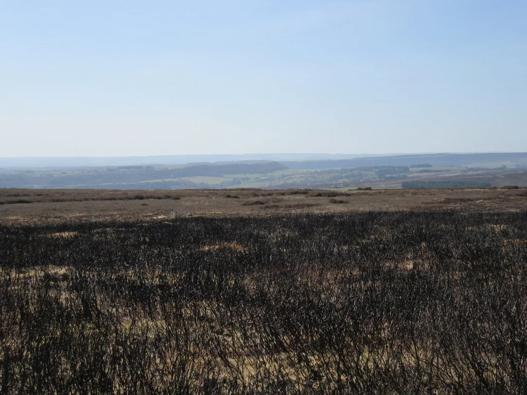
The North York Moors offer a fine progression from coastal railway riding to long days across moorland and forest. Moor to Sea links Scarborough, Whitby, Dalby, Pickering and Great Ayton; the National Park’s Gravel Explorer routes add named circuits from bases including Gribdale, Danby and Sutton Bank. These are practical ways to ride beyond a single trail centre without making up an itinerary from attractive-looking paths.
The appeal is variety: open tracks, wooded sections, steep village roads and the broad Cinder Track can all feature in one trip. Choose the published route that fits your climbing experience and available daylight. The park’s difficulty descriptions include Easy, Moderate and Hard; they are not a universal set of forest-centre colour grades. Maps OL26 and OL27 cover the western and eastern areas respectively.
North York Moors: classic mountain bike routes
Moor to Sea: Scarborough to Ravenscar
16.9km one way
This published stage follows the former Scarborough–Whitby railway, the Cinder Track. It supplies a useful coastal introduction with a straightforward linear plan. Account for the return distance and do not assume that railway riding means a perfectly level or road-bike-smooth surface. Take a shorter out-and-back if that suits the group. Moor to Sea waymarks help, but save the detailed route instructions and identify road crossings before departure.
The National Park’s short circuit combines quiet lanes, forest gravel and moorland tracks below Roseberry Topping, joining Percy Cross Rigg and Kildale. It is a good introduction for riders willing to tackle steady climbs. The starting point is Bike Base at Gribdale Terrace, and the authority identifies Kildale and Great Ayton stations as public-transport options. Follow the cycling itinerary; the presence of a famous summit nearby does not turn its walking approach into a bicycle route.
This demanding published circuit starts at Danby Lodge, climbs to Blakey Ridge and uses the former railway before dropping into Fryup Dale and returning through the Esk Valley. It is a substantial riding day with exposed ground and a meaningful amount of climbing. Pick a clear forecast and download the authority’s complete line. Some named walking trails have rideable sections, but this cycling route does not authorise riding their full length.
For a gentle first day, ride a manageable part of the Cinder Track and return the same way. Agree the turnaround before the group becomes tired, and use the outward ride to judge the surface. Bring food even when you intend to stop at a café. A puncture or a slower rider can easily change the timing of an otherwise simple railway outing.
Choose Gribdale when you want a compact mix of lanes and off-road climbing. Save Blakey and Fryup for a group already comfortable with longer natural days. Moor to Sea also divides its wider network into eleven linear stages, allowing a trip to grow gradually. Build the return arrangements into the plan: an attractive one-way stage is only half the transport problem.
Where is North York Moors?
The planning pin marks Danby railway station as an Esk Valley base, not the start of every route. Danby Lodge is on Lodge Lane, YO21 2NB, with paid parking and card-payment options. Official directions →
The planning pin marks Danby railway station as an Esk Valley base, not the start of every route. Danby Lodge is on Lodge Lane, YO21 2NB, with paid parking and card-payment options. The National Park says reception can also take parking payment while the centre is open. Choose the published departure point for your itinerary; Danby station and the Lodge are separate places.
Train access can work well for Esk Valley riding, and Moor to Sea identifies several railway-linked stages. Reserve bicycle spaces where the operator requires them and plan the last return service before setting out. For southern or coastal starts, arrange parking in the appropriate town or visitor centre. A regional map pin is an orientation aid, not a replacement for the route guide’s arrival instructions.
Nearby planning base. Danby railway station is a nearby planning base; Danby Lodge and other route starts are elsewhere. Official coordinate source
Facilities
Danby Lodge provides toilets, drinking-water refills, bicycle parking, a repair station and free e-bike chargers, with refreshments at In the Wilde. Those services are useful for a Danby-based day. Their opening hours differ from access to the countryside, so carry enough water and tools to finish independently. Charging availability is not a promise that every bicycle or connector will be supported.
Bike Base at Gribdale is specifically identified for hire on the Explorer route page. The National Park also lists cycle centres at Dalby and Sutton Bank. Arrange the right bike before travelling, and explain whether the day involves railway tracks or an exposed moorland circuit. Away from these bases, expect long gaps between services; keep snacks, a spare tube or repair plugs and warm clothing with the bike.
Bike hire at North York Moors
The National Park identifies Bike Base at Gribdale for hire. Other named cycle centres operate at Dalby and Sutton Bank; arrange the bike and proposed route directly.
The National Park’s advice is to avoid excessively wet and boggy ground and keep singletrack narrow. Use the existing legal line, slow before blind corners and leave space for walkers, horses and livestock. Forest gravel, railway surfaces and high moorland will respond differently to rain. Choose the part of the park that suits the forecast, without assuming that one dry track proves an entire long loop is sound.
Blakey Ridge needs particular respect for wind and visibility. Save a lower or shorter option when cloud settles over the tops. Seasonal daylight can make the 50km Explorer a poor late start even for a strong rider. Carry an offline map because mobile reception is limited along much of Moor to Sea. Follow any temporary signs or rights-of-way diversions; a downloaded route remains a plan, not permission to cross a closure.
Guisborough and Great Ayton work well for the western Explorer routes; Danby suits an Esk Valley trip, and Scarborough or Whitby support coastal stages. Choose the riding side first, then the room. Gisborough Hall and the Fox Inn are Guisborough options; Saltburn offers seaside accommodation for a different evening. For non-riders, Danby Lodge has its gallery, gardens and visitor activities, so a mixed party can arrange separate outings and meet afterwards.
Some links are affiliate links — if you book, we may earn a small commission at no extra cost to you.
Displayed distances are straight-line estimates using OpenStreetMap contributors (ODbL), not road journeys. Ask the property about secure bike storage and wet-kit arrangements before booking.
RIDE PREPARATION
Kit for this ride
Consider what suits the route, forecast and your own experience.
Is the North York Moors all technical mountain biking?
No. The official network includes railway tracks, forest gravel, quiet roads and harder moorland days. Select a named itinerary that matches the group’s skills and climbing fitness.
How long is Moor to Sea?
The whole network is around 150 miles, divided into eleven linear sections. You can ride individual stages or combine appropriate sections into a circuit.
What is the shorter Gribdale route?
The National Park publishes an 11km Easy/moderate Gravel Explorer with 300m of elevation gain, starting at Bike Base in Gribdale.
Which map sheets cover the area?
The authority recommends Explorer OL26 and OL27 for the western and eastern North York Moors. Use the sheet or sheets covering the selected ride.
Can I cycle the Cleveland Way everywhere?
No. Ride only the public bridleway, byway or permitted sections used by a published cycling route. A National Trail name does not grant cycling access to footpath sections.