Access note: The red trail is open with diversions; sections 22–25 and 40–44 remain closed following storm damage. The official status page lists black open.
Rostrevor’s mountain biking climbs above Carlingford Lough from Kilbroney Park, combining forest cross-country circuits with two purpose-built downhill lines. The location makes the climbing part of the day’s appeal: the wooded hillside opens onto a coastal outlook before the riding turns back towards the valley. Choose Rostrevor when your group wants a demanding forest outing or a focused gravity day, rather than a short beginner loop.
The red and black circuits are different commitments from the orange downhill tracks. An experienced cross-country rider can plan a self-powered loop, while a downhill rider may prefer the booked Bike Mourne uplift. The village gives you somewhere to eat and stay close to the park, and its walking attractions help a mixed party enjoy the trip without requiring every companion to tackle technical mountain-bike terrain.
Rostrevor mountain bike trails and grades
Red Trail
Red: Difficult · 27 km published by council tourism
The route climbs towards Slievemartin, then combines descents and northshore sections before returning through Kilbroney Valley. Bike Mourne publishes 30 km for its red outing, so confirm the line you intend to follow. Sections 22–25 and 40–44 are closed for storm damage, with diversions in place.
Black: Severe · 19 km published by council tourism
The black shares the initial red climb and route around Slievebane before taking more technical singletrack back towards the valley. The council tourism page lists it open; Bike Mourne describes its outing as 20 km. Choose it for handling difficulty rather than assuming its shorter distance makes it easier than red.
A fast downhill line on Slievebane’s southern slopes, with large jumps and berms. Its purpose is repeated gravity riding, so inspect features before building speed. Use a booked uplift if that is how you intend to reach the top; a short descent length does not describe the effort of a self-powered day.
The more overtly technical downhill option uses boulder fields, drops and gap jumps. It rewards precise line choice and established downhill skills. Plan it as a specialist ride rather than an extension for companions who have just managed a first red cross-country lap.
The council park map distinguishes MTB parking and the trailhead from the higher walking car park. The riding network has red/black circuits and separate downhill lines.
For a first Rostrevor visit by confident cross-country riders, choose the red and give the climb time rather than starting at a pace that empties the group early. The return through Kilbroney Valley gives the outing a coherent shape. Carry the current route map and follow its signed diversions, so the usual published circuit does not become an excuse to enter storm-damaged sections.
Experienced riders can choose black for a more technical circuit or make a separate downhill day of Mega Mission and On the Pulse. Keep those plans distinct when arranging bikes and transport. The uplift is a booked service, with tickets purchased at least 48 hours before the scheduled ride. Bike Mourne asks riders to check in at the main Kilbroney car park at 9.45am with proof of booking.
Where is Rostrevor?
From Rostrevor, follow Shore Road towards Kilkeel; Kilbroney Park is signposted on the left about half a mile from the village centre. Use the park map to locate the dedicated mountain-bike parking and trailhead rather than driving to the higher walking-trail car park. Official directions →
From Rostrevor, follow Shore Road towards Kilkeel; Kilbroney Park is signposted on the left about half a mile from the village centre. Use the park map to locate the dedicated mountain-bike parking and trailhead rather than driving to the higher walking-trail car park. That avoids starting your ride somewhere different from your companions or the booked uplift check-in.
Vehicle parking is charged under the council’s park scheme, with resident permits and non-resident options. Walking and bicycle entry remain free. Check the applicable rate and payment arrangements on the council parking page before travelling. For public transport, Translink lists route 39 between Newry and Kilkeel with Rostrevor stops. Check the return service and bicycle carriage separately; hiring locally can remove the need to carry your own bike on the bus.
Bike Mourne provides hardtail, full-suspension and electric mountain-bike hire as the trailhead provider. Reserve the bike that matches your intended route and ask about fit before committing to a demanding loop. The uplift ticket offers twelve scheduled lifts across the day, with individual and group options. Confirm the chosen date through the operator rather than assuming a shuttle will be waiting when you arrive.
The Kilbroney park map identifies toilets, showers, café facilities and a dedicated mountain-bike car park. Synge & Byrne is listed beside the trailhead centre and main visitor area. These services make it easier for riders and walkers to regroup after different outings. Keep a dry change of clothes available, and ask locally about shower access rather than treating the park facilities as part of an uplift purchase.
Bike hire at Rostrevor
Bike Mourne is the official trailhead provider, hiring hardtail, full-suspension, electric and children’s mountain bikes. Reserve hire and uplift separately.
The forest has ongoing felling and replanting on steep hillsides, so changing access is part of riding here. Follow work signs and give way patiently where the bike routes meet forest roads used by other visitors. Storm-damage diversions can remain necessary long after the storm itself; the closed red sections are not alternate lines to try on a quieter day.
In autumn and winter, plan the forest return around the park’s vehicle opening hours as well as daylight. The council lists March and October access from 9am to 6pm, and November to February from 9am to 5pm. A village stay helps you keep the morning straightforward, but it does not shorten the climbing or reduce the technical demand of black and orange routes.
Rostrevor village is the useful base if your priority is Kilbroney riding followed by an evening on foot. The Rostrevor Inn has a bistro, a traditional bar and Stables snugs. Its restaurant offers breakfast, lunch and evening menus on varying days, with vegetarian and vegan choices among the burgers. Book a meal for your actual return day, especially if the group is finishing different routes at different times.
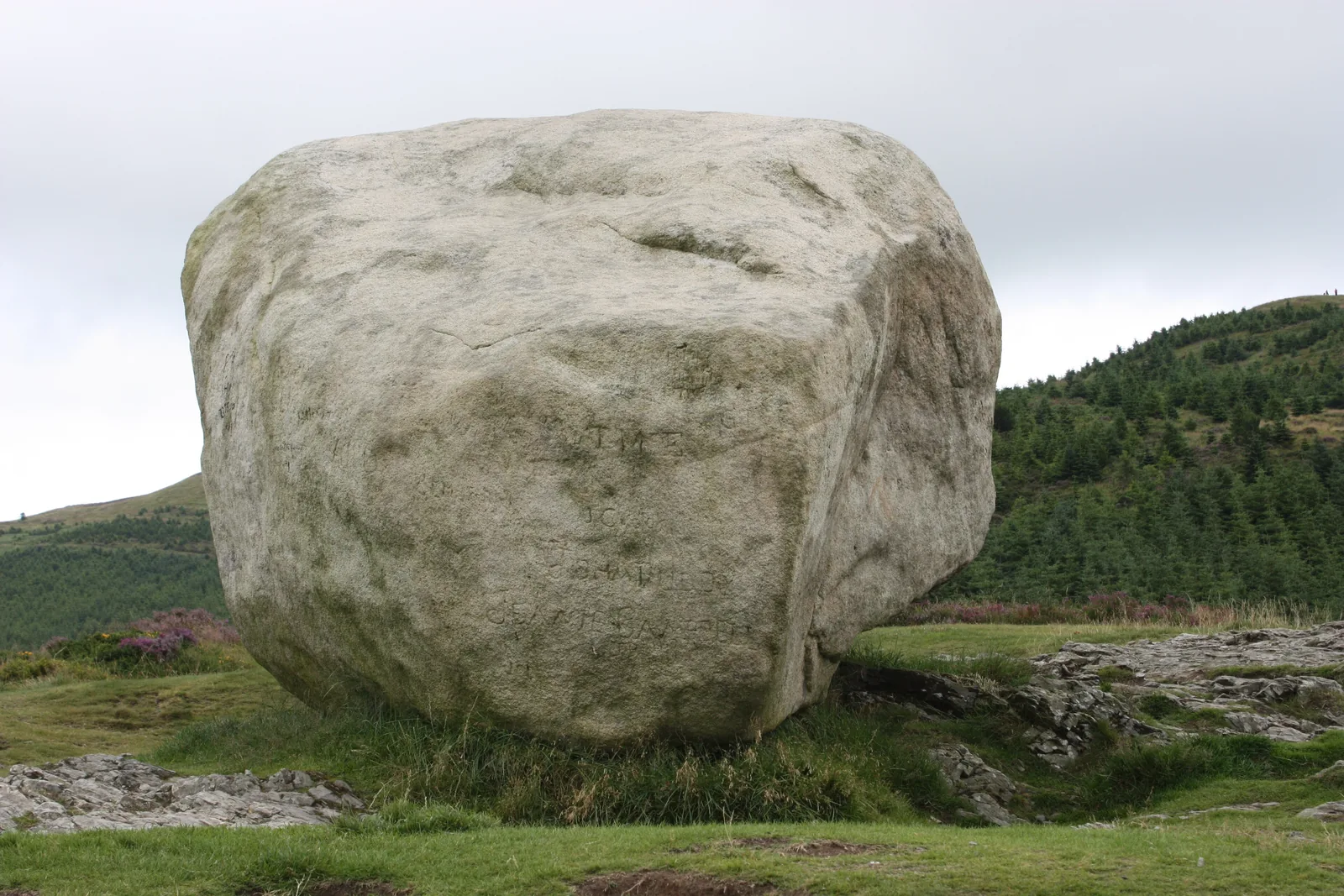
For a non-riding family outing, take the Narnia Trail in Kilbroney Park. The half-mile woodland walk enters through a wardrobe door and includes the lamp post, Beaver’s House and Aslan’s Table. Its gentle inclines make it a different proposition from the long bike climb above. For another perspective on the forest, the government visitor guide describes the protected Rostrevor Oakwood and the landmark Cloughmore Stone overlooking the lough.
Some links are affiliate links — if you book, we may earn a small commission at no extra cost to you.
Displayed distances are straight-line estimates using OpenStreetMap contributors (ODbL), not road journeys. Ask the property about secure bike storage and wet-kit arrangements before booking.
RIDE PREPARATION
Kit for this ride
Consider what suits the route, forecast and your own experience.
No. Council tourism lists red open with diversions while sections 22–25 and 40–44 remain closed because of storm damage. Follow the signed alternative.
Is black easier because its listed distance is shorter?
No. Black adds technical singletrack and is intended for experienced riders. Judge it by difficulty and your handling skills as well as distance.
Which are Rostrevor’s orange downhill tracks?
Mega Mission and On the Pulse are the dedicated orange downhill lines. They are separate choices from the red and black cross-country circuits.
Can I turn up and buy an uplift ticket immediately?
Bike Mourne publishes a booking cutoff of 48 hours before the scheduled ride. Reserve ahead and keep proof of booking available for check-in.
Is entry to Kilbroney free?
Entry on foot or bicycle is free under the council parking scheme. Vehicles are subject to parking charges or the applicable permit arrangements.