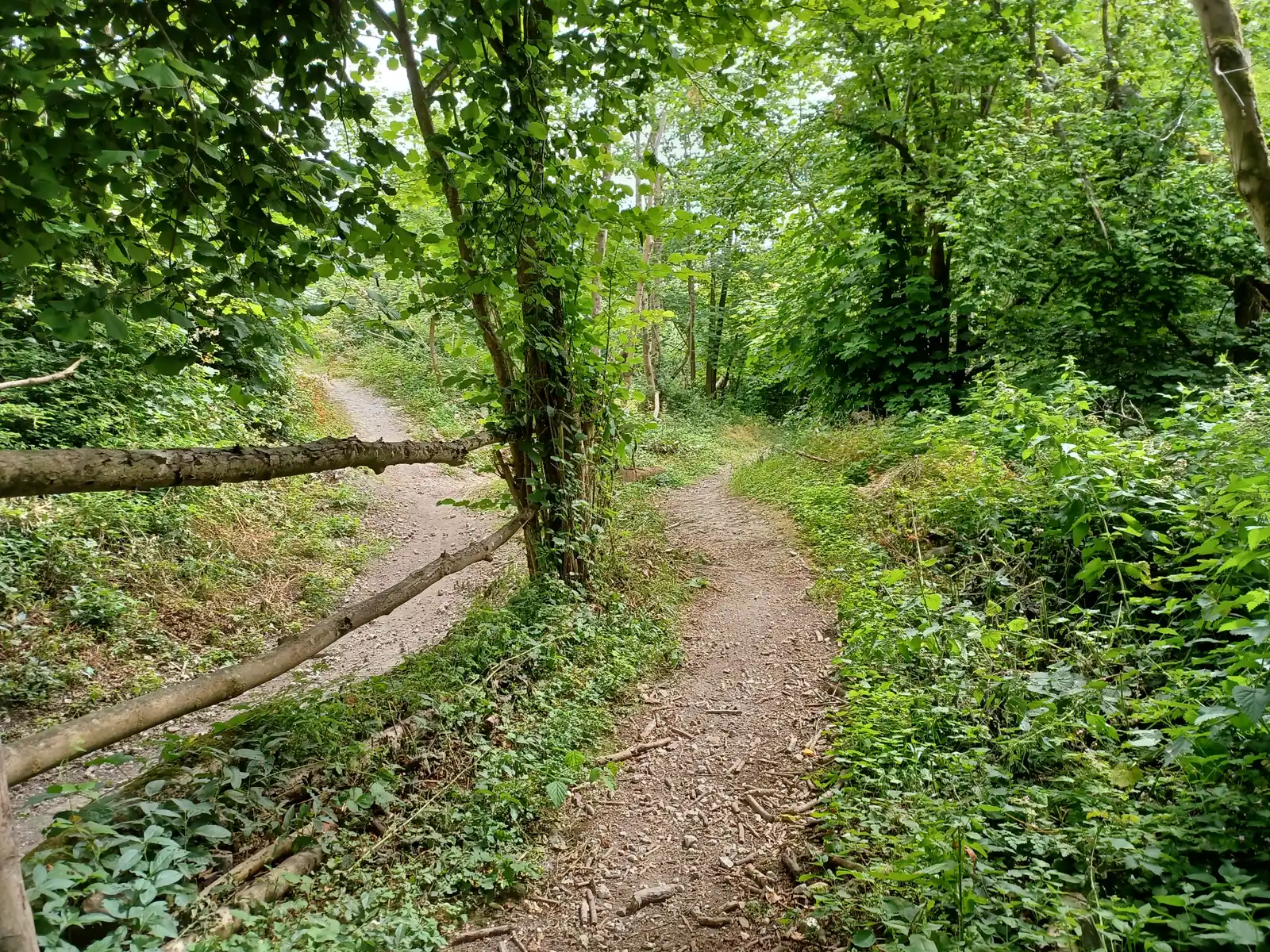
Steyning’s mountain-bike area sits high in Horseshoe Woods above the Rifle Range, on steep chalky ground beside the South Downs town. The land manager welcomes riders of all ages free of charge and describes volunteer-built, signed runs ranging from blue to black and purple. This is a compact place for repeat descents and careful progression. It also connects with named public bridleways, allowing an arrival from town or from the South Downs Way.
The useful distinction is between the designated riding area and the rest of the Steyning Downland Scheme’s paths. Public bridleways provide the approach; its public footpaths and other permissive paths are not cycling routes. Plan that connection before exploring the woods. The scheme’s current safety advice also addresses ash dieback and strong wind, so choosing the day matters as much as choosing a run once you arrive.
Steyning mountain bike trails and grades
Horseshoe Woods mountain-bike runs
The land manager describes blue, black and purple runs in the designated mountain-bike area. These are the published local categories, not an invitation to substitute a historical red-grade description. Wear a helmet and walk the intended trail before riding, as the scheme requests. The purple category is its most difficult option; follow current signs for the individual line.
This named public bridleway provides the approach from the South Downs Way. Use the scheme’s cycling map to follow the permitted connection into the riding area. Treat the approach as shared access and leave room for other users. The nearby Lower Horseshoe Footpath is a different right of way and must not be used as a bicycle shortcut.
The scheme directs riders from Steyning towards Charlton Court on Mouse Lane, then onto the public bridleway into the woods. Its mountain-biking page supplies further junction directions to the top of the area. Follow those directions with the published map, keeping the riding confined to permitted approaches and the designated mountain-bike runs.
For a first visit, make the blue options and the route-finding into the woods the main objectives. Walk the trails before riding and identify where you can stop without blocking another descent. A local blue label is useful for comparison within this riding area, but the steep chalky setting still requires controlled braking and comfortable handling. Let every member of the group decide which features to ride after seeing them.
Experienced visitors can build a focused session around repeated lines once they understand the signs, returns and current ground conditions. Avoid treating black or purple as the automatic next step after a successful blue run. Inspect the particular landing and approach you intend to use, and leave room for another rider to pass at an agreed safe place. Keep enough energy for the bridleway journey back to town or your wider South Downs route.
Where is Steyning?
Park in a Steyning town car park, then cycle towards Charlton Court Cottages on Mouse Lane and follow the published bridleway directions. Official directions →
The land manager recommends parking in one of Steyning’s town car parks and cycling towards Charlton Court Cottages on Mouse Lane. From there, follow the published bridleway directions into the trees and towards the mountain-bike area. Use the cycling map and the named junction instructions together; a town postcode alone does not identify the top of the trails. Allow time to organise your equipment before the climb.
An approach from the South Downs Way uses Upper Horseshoe Bridleway. If combining that connection with a longer ride, plan the complete outward and return journey rather than judging the day only by the downhill runs. Friends arriving from opposite directions should agree whether they meet in town or at the top of the area. Follow current parking restrictions and keep residential gates, passing space and the bridleway entrance unobstructed.
Nearby planning base. Approximate centre of Steyning town postcode BN44 3RE, published for landmanager office at 53 High Street. Nearby town base, not Horseshoe Woods or the bike-run entrance. Coordinates obtained from Postcodes.io postcode-directory lookup, with retrieved response retained in the audit. Official coordinate source
Facilities
Bring water, food and the tools needed for your own bicycle. The published land-manager information confirms a free volunteer-maintained riding area; it does not promise a staffed hire service or mechanical workshop in the woods. Sort out any rental or servicing separately before arrival. A helmet is required by the scheme, and appropriate additional protection is a sensible choice for the run and features you select.
Treat the woodland as a place shared with a wider conservation project, even when riding a dedicated line. Keep bags away from landings and avoid moving timber, reshaping features or creating a new return track. The volunteers maintain both the runs and their signs. Support that work by respecting barriers and leaving the area clean, with food packaging and damaged parts carried back to town. Choose a visible resting place that allows others to use the trail normally.
Ash dieback changes the weather decision here. Steyning Downland Scheme strongly advises riders not to use the area when forecast wind speeds exceed 24 mph because infected trees can collapse without warning. Treat that as a reason to choose another day, not merely to avoid the largest jumps. Rain can also change how chalky ground grips. Read the current scheme notices and inspect the surface again after weather changes, even on a trail you remember well.
Steyning is the most direct town base for this visit, with Bramber offering another nearby accommodation choice. Ask your chosen property about bicycle storage and the actual arrival arrangements before booking. A town-centre stay may simplify an evening meal, while a countryside property changes the return journey. Neither choice removes the need to plan a lawful cycling approach to the woodland and somewhere secure for the bikes afterward.
The White Horse Smokehouse & Grill on Steyning High Street publishes its own food menu and reservation arrangements, making it a named option for a post-ride meal. Non-riders can explore Horseshoe Woods using the scheme’s walking information, with the cycling area kept separate from their itinerary. Its woodland pages discuss ash dieback, restoration and wildlife, adding context to the landscape. Organise a meeting in town and enough time to change before entering a restaurant.
Some links are affiliate links — if you book, we may earn a small commission at no extra cost to you.
Displayed distances are straight-line estimates using OpenStreetMap contributors (ODbL), not road journeys. Ask the property about secure bike storage and wet-kit arrangements before booking.
RIDE PREPARATION
Kit for this ride
Consider what suits the route, forecast and your own experience.
Steyning Downland Scheme welcomes riders to the designated mountain-bike area free of charge. Town parking has its own arrangements.
Which grades does the land manager publish?
Its current cycling page identifies blue, black and purple runs. Purple is the most difficult local category; red is not asserted here.
Can I approach using any woodland path?
Use public bridleways and the designated riding-area approaches. The scheme prohibits cycling on its public footpaths and other permissive paths, including Nightingale Lane.
What is the wind restriction?
The scheme strongly advises avoiding the area when forecast wind speeds exceed 24 mph because of ash-dieback tree risk.
Do I need to walk the trails first?
Yes. The scheme specifically asks riders to walk the intended trails before riding and wear a helmet throughout their session.
Develop braking, cornering, climbing and technical riding through deliberate practice, with sensible progression for roots, rocks, steeps, wheel lifts and jumps.