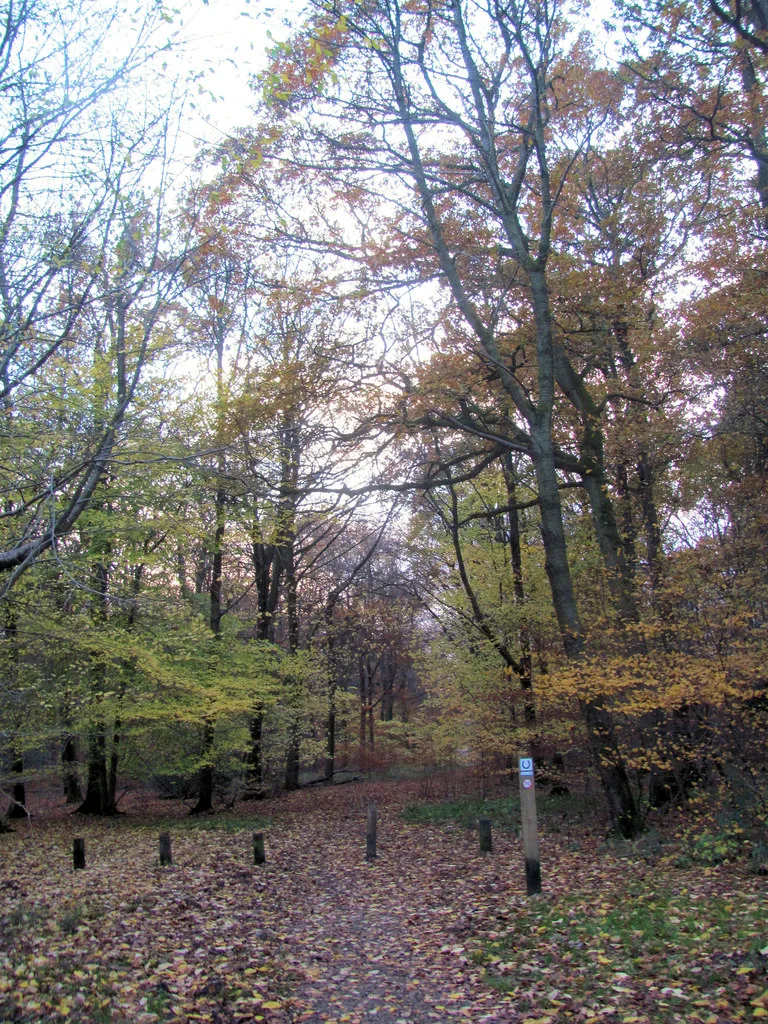
The Chilterns offer chalk-country mountain biking through woodland, along bridleways and between small towns with useful railway links. Wendover Woods provides the named Juniper cycle trail for an intermediate first visit, while Cycling UK’s Royal Chilterns Way connects a much larger off-road touring network. Choose a contained forest loop, a selected section of the published bikepacking route or an easier family outing at Ashridge; they serve different riders and different sorts of day.
This is a broad natural riding region, with Wendover Woods included as a specific managed cycling destination. Use Explorer 171, Chiltern Hills West, 172, Chiltern Hills East, and 181, Chiltern Hills North, according to the chosen route. Public bridleways, suitable byways and expressly permitted cycling routes form the riding network. The Chiltern Way and a scenic National Trust walking itinerary are not automatic bicycle routes. Make the legal line part of the plan from the beginning.
Chilterns: classic mountain bike routes
Juniper cycle trail, Wendover Woods
Blue · 12 km
Forestry England’s intermediate loop combines forest climbing and descending, with roots, flinty or muddy patches and some adverse camber. It has no constructed technical features; the challenge comes from the natural terrain. Follow its cycle waymarks and use the signed alternatives to shorten the outing. Do not treat a shorter distance as a reason to rush the descents or pass walkers without room.
Ungraded mixed-surface touring · 280 km full circuit
Cycling UK publishes a 280 km bikepacking circuit with roughly 65% off-road riding, using bridleways, byways and forest tracks connected by lanes. It is a multi-day touring route, not a 280 km waymarked trail-centre loop. Download the current GPX and choose a practical section with a clear return or transport arrangement. A mountain bike can suit the mixed surfaces, but luggage and repeated climbs need conservative pacing.
The National Landscape identifies family cycling from Ashridge’s Monument Drive visitor centre and links to Hertfordshire’s route information. Use the specifically published cycling routes through this woodland estate, not an arbitrary nearby walking trail. A shorter outing can suit a mixed party while stronger riders tackle a separate longer itinerary. Establish which paths allow cycling and how everyone will return to the meeting point.
For riders with basic off-road skills, Juniper is a useful first visit because its current description explains both the distance and the surface. Begin steadily, allow the first climb to settle the group and pause before committing to a steep or awkward descent. Its signed alternatives make shortening the day a normal choice.
For a longer weekend, select a Royal Chilterns Way section using the official GPX and organise accommodation around its start and finish. Do not improvise the return by assuming a parallel footpath is rideable. Carry a repair kit, water and food, and save navigation offline. If arriving by rail, establish the final road connection to the route and the bicycle reservation rules before choosing a train.
Where is Chilterns?
Chilterns is reached from Wendover / Aston Clinton. Use HP22 5NQ alongside the official entrance directions. Official directions →
Wendover Woods’ official entrance is reached from Upper Icknield Way, Aston Clinton, with published postcode HP 22 5 NQ. Follow Forestry England’s directions and current entrance arrangements. Its linked map destination supplies the directory pin, which marks this forest starting point within the larger region. The roads into the woods and the approaches from Wendover station need their own planning; station proximity alone does not mean a traffic-free link.
Forestry England currently lists Wendover Woods parking at£3.80 for up to one hour,£4 for up to two hours and£15 all day, with additional bands in between. An early-bird tariff applies when exiting before 11 am. Use the full live tariff to match your visit and follow the barriered ANPR payment instructions.
Wendover Woods provides a café, toilets and other visitor facilities; the regional tags refer to this managed start. Ashridge’s Monument Drive visitor centre also has toilets, bike parking, a shop and café according to the National Landscape. Those are useful options for a mixed riding and walking party. Agree a meeting place so nobody has to follow a cycling itinerary simply to reach lunch.
Across the wider bridleway network, bring your own essentials and identify food stops before committing to a long section. Amersham, Berkhamsted, Tring and Wendover provide possible bases along different parts of the region. Arrange any hire or repair with the individual business. A general tourism map does not guarantee a bike shop is open at the end of your ride, so carry the spares needed for common roadside repairs.
Wendover Woods opens 8am–7pm through 25 October 2026, then 8am–5pm; last vehicle entry is one hour before closing. Card-only ANPR parking applies, and overnight parking or camping is prohibited.
Juniper’s current description explicitly includes muddy, flinty and rooty surfaces. After rain, leave more braking space and approach corners slowly enough to respond to another visitor. Stay on the permitted path and avoid forming a wider line around soft sections. Open chalk and woodland can feel very different within one outing, so judge each section by the surface under your tyres instead of keeping one fixed speed.
The National Landscape’s Cycleway page retains a Wendover diversion notice referring to HS 2 works and an old estimated end date. Do not assume that estimate proves the original lane has reopened. Use current local signs and a confirmed permitted alternative where your selected route crosses the work area. Aston Hill remains a separate rebuilding bike-park project; riding in Wendover Woods is not a claim that its downhill tracks have reopened.
Bel and The Dragon at the Red Lion offers a Wendover overnight base. Pendley Manor provides a stay near Tring; the Kings Arms in Berkhamsted is another option for the eastern network. The Crown and Kings Arms Hotel in Old Amersham provide two distinct verified properties there. Choose the town around the actual riding section, recognising that a broad Chilterns address may still leave a road transfer.
Ask about secure storage and drying space before reserving, especially for a multi-night touring trip. Confirm meal times around the day’s finish so a slow final section does not leave the group without dinner. On a rest afternoon, explore a town centre or choose a separate woodland walk. Keep that walking plan distinct from the legal cycling itinerary, then allow time to repack before the next riding day.
Some links are affiliate links — if you book, we may earn a small commission at no extra cost to you.
Displayed distances are straight-line estimates using OpenStreetMap contributors (ODbL), not road journeys. Ask the property about secure bike storage and wet-kit arrangements before booking.
RIDE PREPARATION
Kit for this ride
Consider what suits the route, forecast and your own experience.
Forestry England publishes 12 km and describes it as blue grade for intermediate riders. The route includes climbs, descents, roots and variable surfaces, with marked alternatives to shorten the outing.
Is the Chilterns Cycleway the off-road bikepacking route?
They are different routes. The National Landscape describes its 170 mile Cycleway as more than 95% on-road. Cycling UK’s 280 km Royal Chilterns Way has approximately 65% off-road riding.
May I cycle the Chiltern Way or any woodland footpath?
A named walking route does not give cycling permission. Use public bridleways, suitable byways and routes expressly identified for cycling; follow local restrictions and temporary closures.
Which maps cover the region?
Explorer 171 covers Chiltern Hills West, 172 the eastern hills and 181 the northern hills. Choose the sheet or sheets for the actual route, with an offline copy of the current GPX.
Does Wendover Woods being open mean Aston Hill is open?
No. The forest cycling route and Aston Hill’s rebuilding bike-park project are separate. Use the dedicated Aston Hill status page for any reopening announcement.